
Cumming, GA · Forsyth County and the 400 corridor

Mon–Sat 7am–6pm ET(470) 577-7981

Sawnee Land Clearing
Call (470) 577-7981 Get a free quote

Hightower, GA

Land Clearing and Forestry Mulching in Hightower, Georgia

Sawnee Land Clearing clears land around Hightower, the far northwest corner of Forsyth County where the Etowah River forms the county line, about 8.1 miles north-northwest of Cumming. The ground falls off in bluffs to the river and its creeks. We open river views under the big trees, cut trails and firebreaks, and clear privet with silt fence set first.

  • Far northwest Forsyth
  • Etowah River land
  • Bluffs and steep ground
  • Mulched in place

A quote for your Hightower land in one business day.

Short Quote

Have photos? The full quote form below takes them.

  • Mulched in placeNo burn piles, no haul-off.
  • One contractClearing, silt fence and grading together.
  • Permits handledErosion plan and county permit done for you.
  • Cost-share helpWe show you which Georgia program fits.

Hightower, Georgia

When the Etowah was the Hightower River

Hightower is a mapped community in Forsyth County's far northwest corner, about 8.1 miles north-northwest of downtown Cumming. Early maps and most early Cherokee records called the Etowah the Hightower River. From GA 400, take Exit 18 and go about nine miles west on SR 369 toward Etowah Bluffs Road.

The Etowah forms the county line here, and the land drops to it in bluffs. Bannister, Brewton, Yellow and Cogburn creeks cut through on the way. At 1,010 feet, Hightower sits about 200 feet below downtown Cumming, and most lots carry real grade.

County
Forsyth, unincorporated
Elevation
1,010 feet
From downtown Cumming
8.1 miles north-northwest
Drains to
The Etowah River, which forms the county line here
Map of Hightower, GA

At a glance

Land clearing in Hightower, in numbers

The figures that apply on river land in the county's northwest corner, from cost to the buffers along the water.

Land clearing in Hightower, Georgia Figures checked November 4, 2026
Cost to clear a wooded acre$1,200 to $2,500 light brush; $2,500 to $4,000 mixed trees 4 to 8 inches; $4,000 to $6,500+ dense hardwood
Small-job minimum$1,200 to $2,000
Who issues the permitForsyth County; Hightower is unincorporated
When you need a county permitDisturbing an acre or more, or working within 200 feet of state waters, the river included
Stream buffer on the creeks50 feet undisturbed, plus a 25-foot impervious setback
Along the EtowahA wider river-corridor buffer applies; we check where it falls on your parcel before any work
Erosion inspections on permitted sitesAt least weekly on most sites, and within 24 hours of a half-inch rain
Outdoor burningBanned May 1 to September 30 under state rules; we mulch instead
Mulching pace on slopeAbout 1 to 3 acres a day in light brush, less on steep or wet clay

Steep ground, a river view and a creek on most lots.

River bluffs

Bluff lots above the Etowah

Subdivisions such as River Rock and the Preserve at Etowah sit on the bluffs, with larger rural tracts between them. Owners here tend to ask for two things: a view down to the river and woods they can walk.

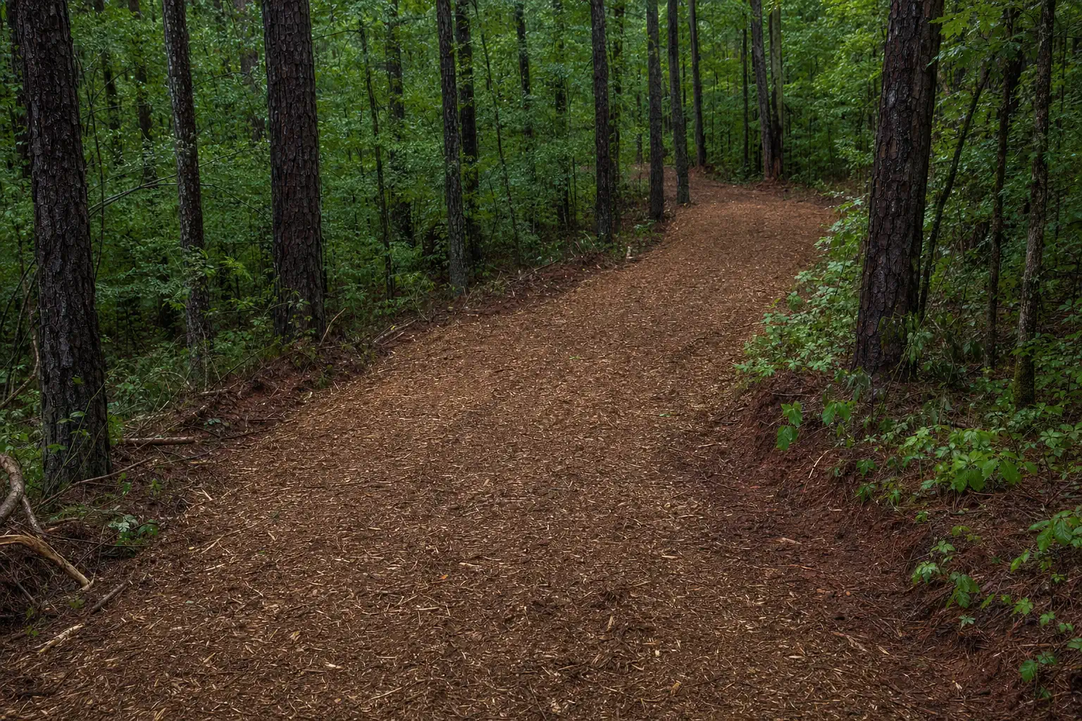
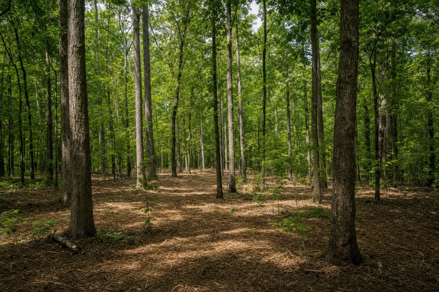
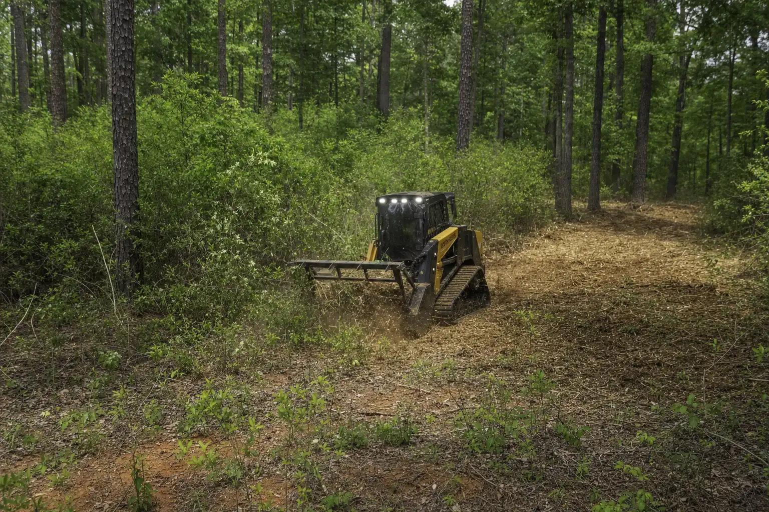
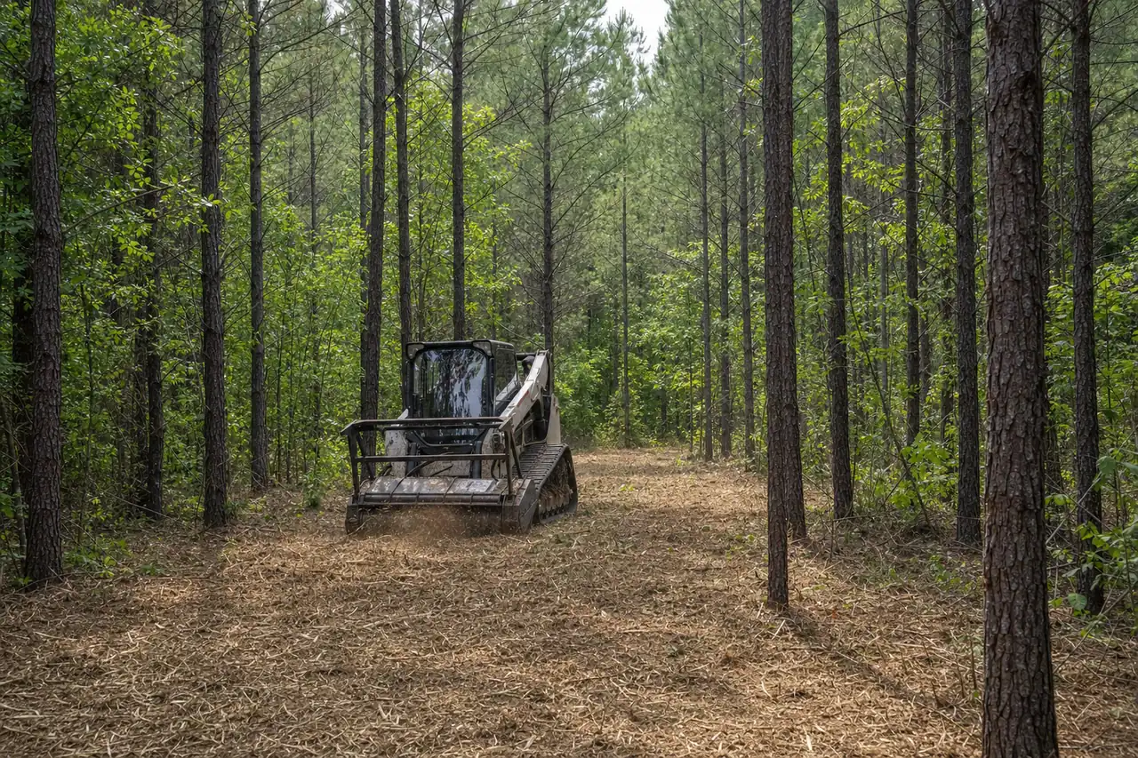
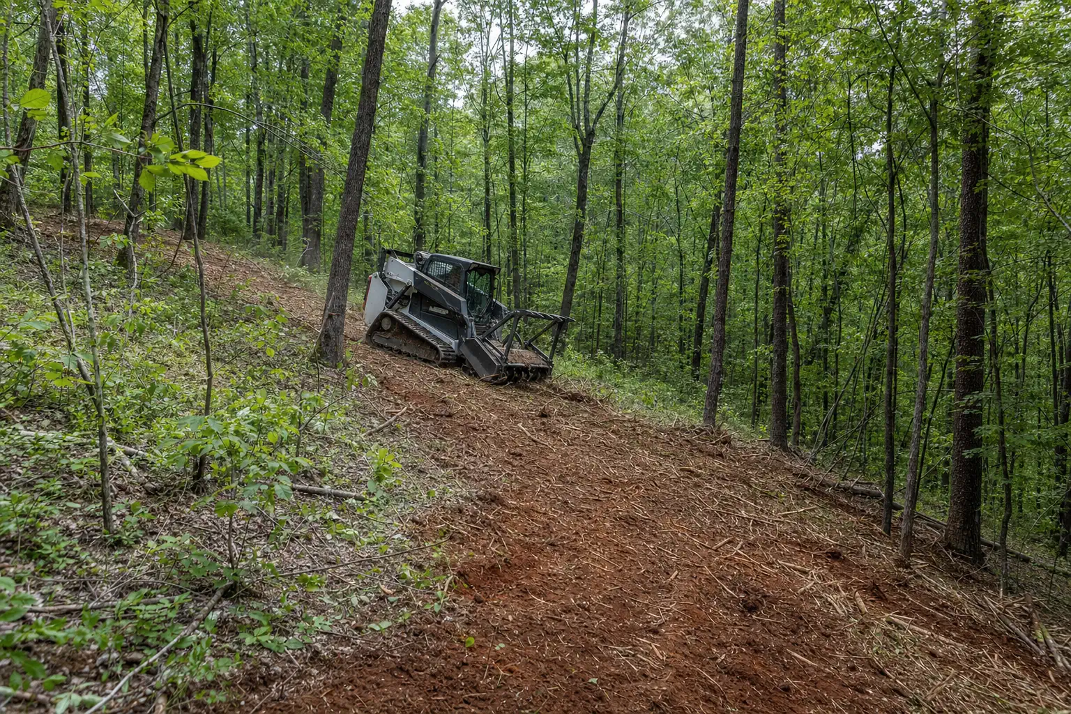
A tracked mulcher opens the understory on slope and leaves the roots in the clay. We keep the big trees and stop where the river buffer starts.

  • Understory opened for a river view
  • Walking and ATV trails across the slope
  • Big hardwoods and bank roots left standing
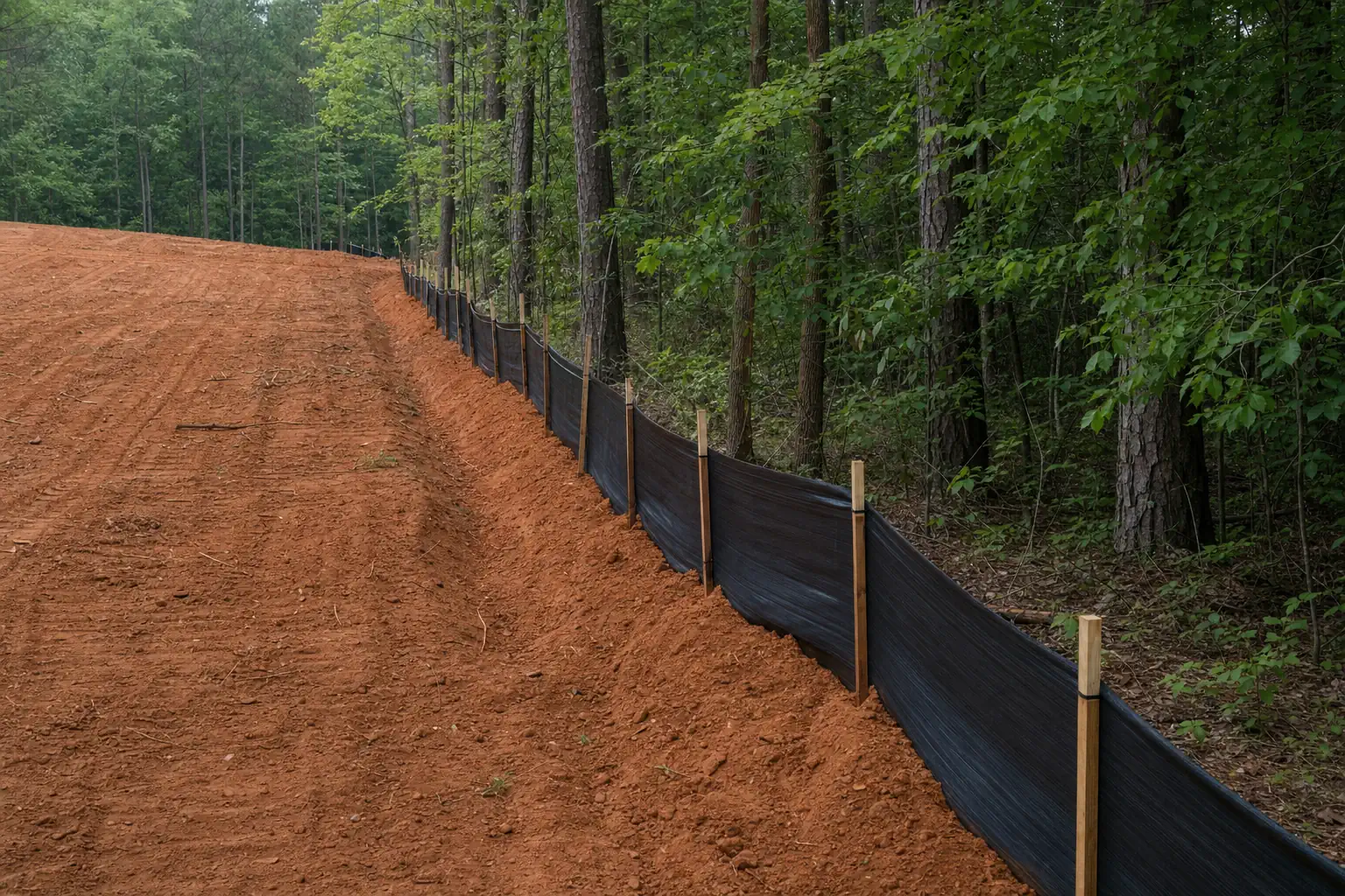
  • Silt fence on the low side before rain

Rules by the river

Rules that change the job here

Hightower is unincorporated, so Forsyth County issues any permit. The river adds a layer: a wider corridor buffer runs along the Etowah on top of the creek buffers, and we find its edge on your parcel during the walk.

Stream buffers and clearing near water
200 ft
From the river or a creek, where even small jobs can need a permit
50 + 25 ft
Forsyth creek buffer plus impervious setback
25 ft
Georgia's buffer along all state waters, from the bank
1 acre
Disturbance that triggers a Forsyth County permit anywhere

Permit thresholds, fees and buffer widths are those published by Forsyth County and the State of Georgia as of November 4, 2026. Confirm current requirements with the issuing authority before work begins. This is not legal advice.

Cost

What clearing costs around Hightower

Slope and the water set most of the price here. Two acres on a flat ridge top and two acres of bluff are different jobs.

  • Grade to the river

    Steep ground means slower passes and more care on the downhill side.

  • Keeping the canopy

    Underbrushing beneath big trees takes longer than clearing everything.

  • Creeks on the lot

    Bannister, Brewton and the other creeks bring buffers and silt fence.

  • Erosion control

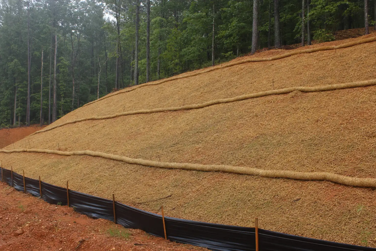
    Bare clay on a slope needs silt fence and straw before the next rain.

  • Getting in

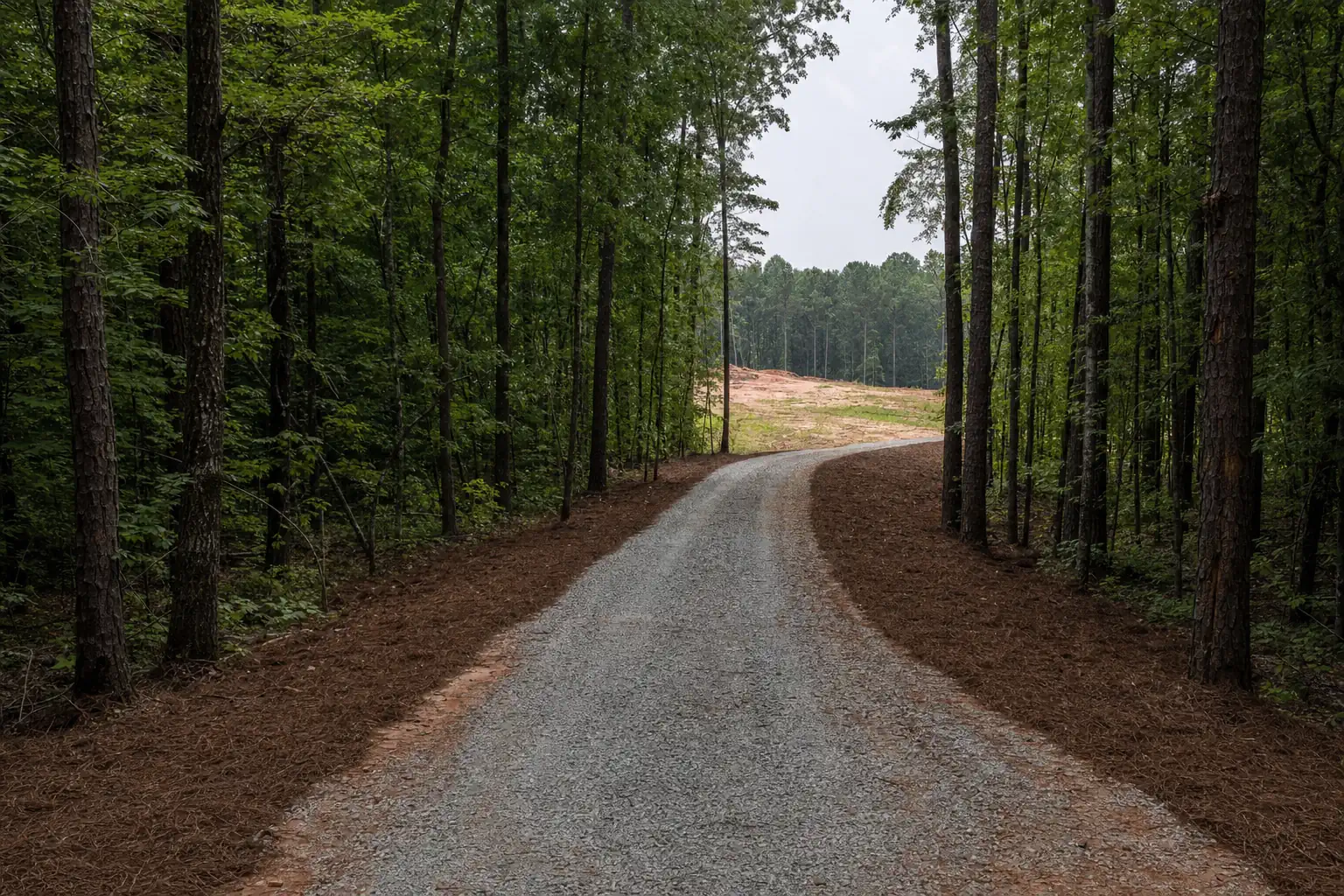
    A long drive down a bluff may need cutting before the mulcher reaches the work.

  • Trunk size

    Privet and saplings go fast. Old hardwood on the slope takes several times longer.

Estimated ranges around Hightower

Light brush, privet, saplings
$1,200 to $2,500/acre
Mixed growth, trees 4 to 8 in
$2,500 to $4,000/acre
Dense hardwood, 8 to 12 in+
$4,000 to $6,500+/acre
Small jobs
$1,200 to $2,000 minimum
Silt fence
$500 to $1,200/acre

Ranges are estimates for Forsyth County and the surrounding area based on job density, terrain, access and acreage. Your written quote is the only price that applies to your property.

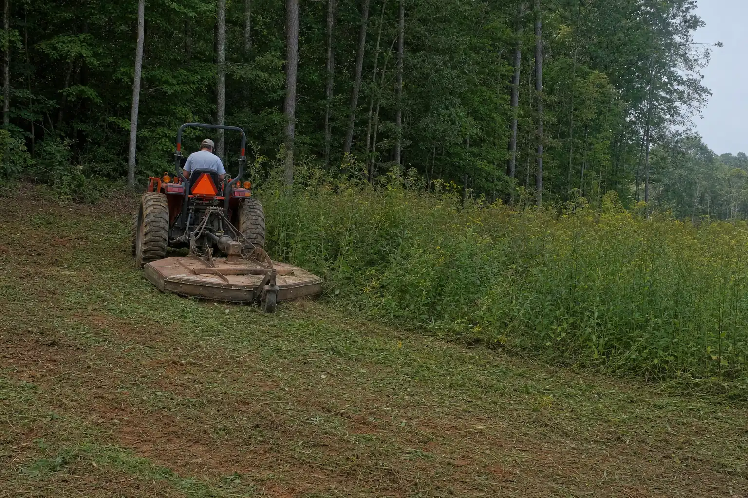
Mulching on red clay and slope

How it runs

How a Hightower clearing job runs

On river land we find the buffers and the grade before we price anything.

  1. 1Day 0

    Call or send photos

    The address, photos from the house toward the river, and what you want to see.

  2. 2First visit

    Walk the slope

    Creeks, the river buffer, keeper trees and the view line flagged with you.

  3. 3One business day

    Written quote

    Underbrushing, trails, erosion control and any permit as separate lines.

  4. 4Before work

    Silt fence first

    Fence and straw on the low side wherever bare ground could reach a creek.

  5. 5Dry weeks

    Mulch in dry weather

    Top of the slope down, with the bank and the big trees left standing.

  6. 6Finish

    Walk it again

    Final walk, photos, and a plan for the regrowth on the slope.

Creeks on their way to the river

Bannister, Brewton, Yellow and Cogburn creeks drain this corner of the county into the Etowah. Lots on them get Forsyth's 50-foot undisturbed buffer and silt fence on the low side, and work within 200 feet of the bank can need a permit.

Permit thresholds, fees and buffer widths are those published by Forsyth County and the State of Georgia as of November 4, 2026. Confirm current requirements with the issuing authority before work begins. This is not legal advice.

How close to a creek can I clear?

Firebreaks on the far-corner tracts

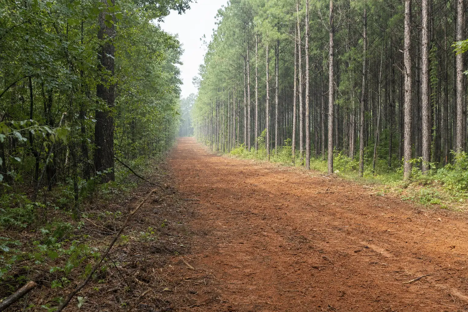
On the bigger tracts out here, a mulched firebreak around a pine stand or burn unit gives you and the fire crews a line to work from. We cut it to bare soil where a burn plan calls for it and set water bars on the slope.

Firebreak installation

FAQ

Hightower questions we get

Do you really come out to Hightower?
Yes. Hightower is about 8.1 miles north-northwest of downtown Cumming, and most of our work is within ten miles of Sawnee Mountain. The far corner of the county is part of our regular ground. Every area we work.
Can you clear my lot down to the Etowah?
Not all the way. A river-corridor buffer runs along the Etowah, wider than the 50-foot creek buffer, and we stay out of it. We open the view above it and check where it falls on your parcel during the walk. Stream buffers and clearing near water.
Is my bluff too steep for a mulcher?
Usually not. A tracked mulcher spreads its weight and drives on its own mulch, so firm clay on a slope holds it. Soaked clay ruts under any machine, so we work bluff lots in dry weeks. Mulching on red clay and slope.
Do I need a permit to clear for a river view?
Under an acre and more than 200 feet from the river or a creek, usually not. Closer to the water, even a small job can need a Forsyth County permit. We measure it during the walk and file the paperwork if you need it. Permits for less than an acre.
What happens to the brush on a steep lot?
We mulch it where it stands, and the chips stay on the slope as cover. There is nothing to haul up the hill, and nothing to burn, which Georgia bans for land clearing in Forsyth County from May 1 to September 30. What happens to the debris.
Will the view grow back in?
Yes. Hardwoods and privet send up shoots from the roots, most by the first spring. A mowing pass once or twice a year, plus a privet treatment by licensed applicators, keeps the view open. Will it grow back?

Free quote

Tell us about the land.

Tell us where the land is, what's growing on it and what you want it to be. Add a few photos if you have them. We'll call within one business day with what it takes and what it costs.

Call (470) 577-7981
  • No cost to quote
  • We walk the line before a final price
  • Out of state? Photo updates by text

Get your free quote

Three short steps. Photos help us price it right the first time.

Land Clearing Quote (3 steps)
  • Contact
  • The Job
  • Finish
Best number to reach you
A street address, or the closest intersection if the land has no address yet.
Map of Cumming, Georgia

Based in Cumming, Georgia. Serving Forsyth County and the 400 corridor.

Call (470) 577-7981 Get a quote