
Buffer guide · 8 min read
Creeks, Stream Buffers and Clearing Near Water
Georgia sets a 25-foot buffer along all state waters and 50 feet on trout streams. In unincorporated Forsyth County, streams carry a 50-foot undisturbed buffer plus a 25-foot impervious setback. Clearing stops at the buffer edge, and any clearing within 200 feet of state waters needs a county land disturbance permit, even under an acre.
The buffers that apply in Forsyth County
A stream buffer is a strip of land along a creek, stream or other state waters where clearing and grading are restricted. In Forsyth County, two sets of rules lay buffers over the same creek: the state’s, under the Erosion and Sedimentation Act, and the county’s, under its development code. The wider one decides how close a machine can get.
| Buffer | Width | Where it applies | What it allows |
|---|---|---|---|
| State buffer | 25 feet | All state waters | Thinning or trimming, as long as a protective vegetative cover remains |
| State trout-stream buffer | 50 feet | Trout streams | The same thinning and trimming rule |
| Forsyth County stream buffer | 50 feet undisturbed, plus a 25-foot impervious setback | Streams in unincorporated Forsyth County | Left undisturbed; no pavement or buildings in the setback |
| Water-supply watershed buffers | Wider than the standard county buffer | Parts of the Big Creek, Etowah and Chattahoochee watersheds | Set by the county’s watershed rules for each site |
Permit thresholds, fees and buffer widths are those published by Forsyth County and the State of Georgia as of November 4, 2026. Confirm current requirements with the issuing authority before work begins. This is not legal advice.
For a typical creek in unincorporated Forsyth, that means 75 feet from the stream before anything gets paved or built, with the first 50 left as they are. Inside Cumming’s city limits, the city’s own code sets the buffer, and we confirm it before we quote a city job. The short answer to the common question is on how close to a creek can I clear.
Where the measurement starts
Landowners often measure from the middle of the creek or from a property line. The state buffer starts from the point where normal stream flow has wrested the vegetation away: the edge of the bank where the water has torn out the plants and left bare soil or roots. On a lake or pond edge, the same idea applies to wave action.
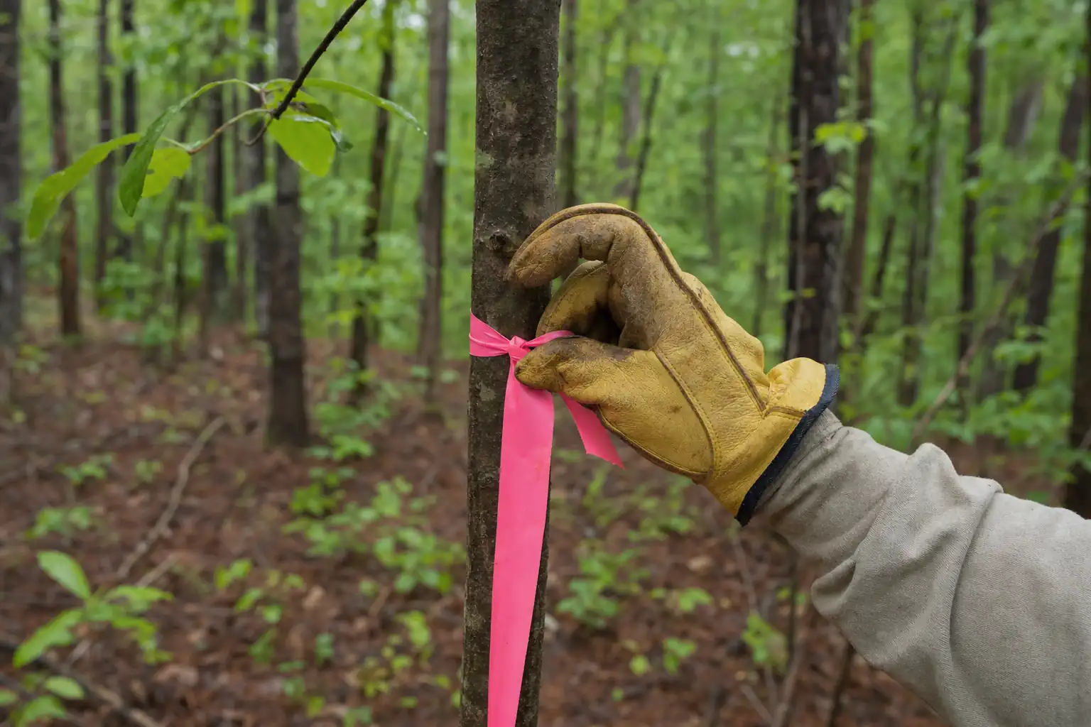
That point moves. A Piedmont creek that cuts into its red-clay bank can put the buffer edge farther back than an older survey shows. On small branches the edge can be hard to call in summer brush. We walk the bank in person and flag the buffer edge from what’s on the ground, and on a permitted job the approved plan shows the buffer line.
The buffer and the 200-foot permit rule
Two different distances from water come up on a clearing job, and people mix them up.
- The buffer. Where machines don’t work: 25 feet under state law, 50 feet undisturbed plus a 25-foot setback under the county code.
- The 200-foot rule. Where the county permit kicks in. A job that disturbs less than an acre is normally exempt from the land disturbance permit, but not if it’s within 200 feet of the bank of state waters.
Distances from water that shape a clearing job
- 25 ft
- Georgia's buffer along all state waters
- 50 ft
- Georgia's buffer on trout streams
- 50 + 25 ft
- Forsyth County undisturbed buffer plus impervious setback
- 200 ft
- Distance inside which even small jobs need a county permit
A half acre of underbrushing 150 feet from a creek stays out of the buffer and still needs a permit. The permit brings an erosion plan, silt fence and inspections at least weekly on most sites, and within 24 hours of a half-inch rain. See do I need a permit to clear less than an acre and permits to clear land in Forsyth County.
What “undisturbed” means for a clearing job
The state buffer lets you thin or trim vegetation as long as a protective cover remains. The county’s 50-foot buffer is stricter: it’s an undisturbed buffer. For a clearing job in unincorporated Forsyth, we read that plainly and keep machines out of it. No mulching, no grubbing, no stump grinding and no tracks across it.
The 25-foot setback beyond the undisturbed strip keeps impervious surfaces back from the stream: driveways, slabs, roofs. On a homesite near a creek, that setback shapes where the house and drive can go, so it belongs in the site plan before any clearing gets quoted.
If you want work inside a buffer, such as removing a hazard or treating invasive plants, the county answers that question for your site before anyone starts. We won’t quote buffer work on a guess.
Creeks are everywhere in Forsyth County
Most wooded tracts here have water somewhere on them or near them. The east two-thirds of the county drains to the Chattahoochee and Lake Lanier and the northwest third to the Etowah, and many of the hollows between the ridges carry a branch. Big Creek rises in south Cumming and runs to the Chattahoochee at Roswell. Settingdown Creek runs through the Matt area to the Etowah.
That’s why the creek question comes up on so many of our walk-throughs. A tract that looks dry from the road can have a branch at the bottom of the hollow, and the 200-foot distance reaches a long way up a slope. On land in the Big Creek, Etowah or Chattahoochee water-supply watersheds, the county’s watershed rules can widen the buffer, which matters on larger tracts near the intakes. We check which rules apply to your parcel before quoting.
The buffer also protects the land you own. Roots hold a red-clay creek bank together. Strip the bank and the next high water cuts into it, and the creek takes ground from your side of the property line a little at a time. Leaving the strip alone costs nothing, and it keeps the bank where your survey says it is.
Lake Lanier is a different line
A lake lot has the county’s rules on your side and a federal line on top of them. Below your property line, the Lanier shoreline is federal land managed by the U.S. Army Corps of Engineers, and clearing it for views or lawns is not permitted.
Shoreline rules are set by the U.S. Army Corps of Engineers under the 2004 Shoreline Management Plan and were checked on November 4, 2026. A revision is in progress. Confirm with the Lake Lanier Shoreline Management Help Desk before any work near the government line.
The full set of Corps rules is in clearing near Lake Lanier.
Common creek-tract jobs, and what applies
These are the situations we see most on tracts with water. The walk-through and, on permitted jobs, the approved plan settle the details for your land.
| Job | Buffer | Permit |
|---|---|---|
| Opening an old pasture with a creek along one side | Flagged and left alone | Needed if the work is within 200 feet of the bank or over an acre |
| Underbrushing woods on the slope above a creek | Work stops at the buffer edge | Needed within 200 feet of the bank, even under an acre |
| A homesite with a branch at the back of the lot | Shapes where the house and drive go | Needed within 200 feet of the bank |
| Privet thicket running down to the water | Upland side cleared; buffer work only with the county’s answer | Depends on area and distance |
| Clearing a tract with no water within 200 feet | None on site | Needed at 1 acre or more |
Water on or near the land brings the permit into most of these jobs, so we plan for it from the first conversation.
Where the silt fence goes on a creek tract
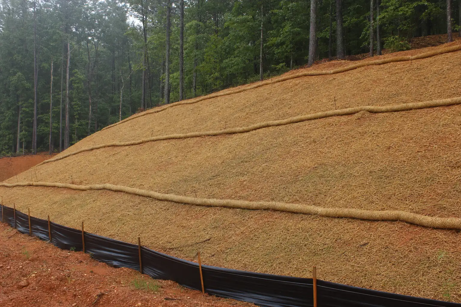
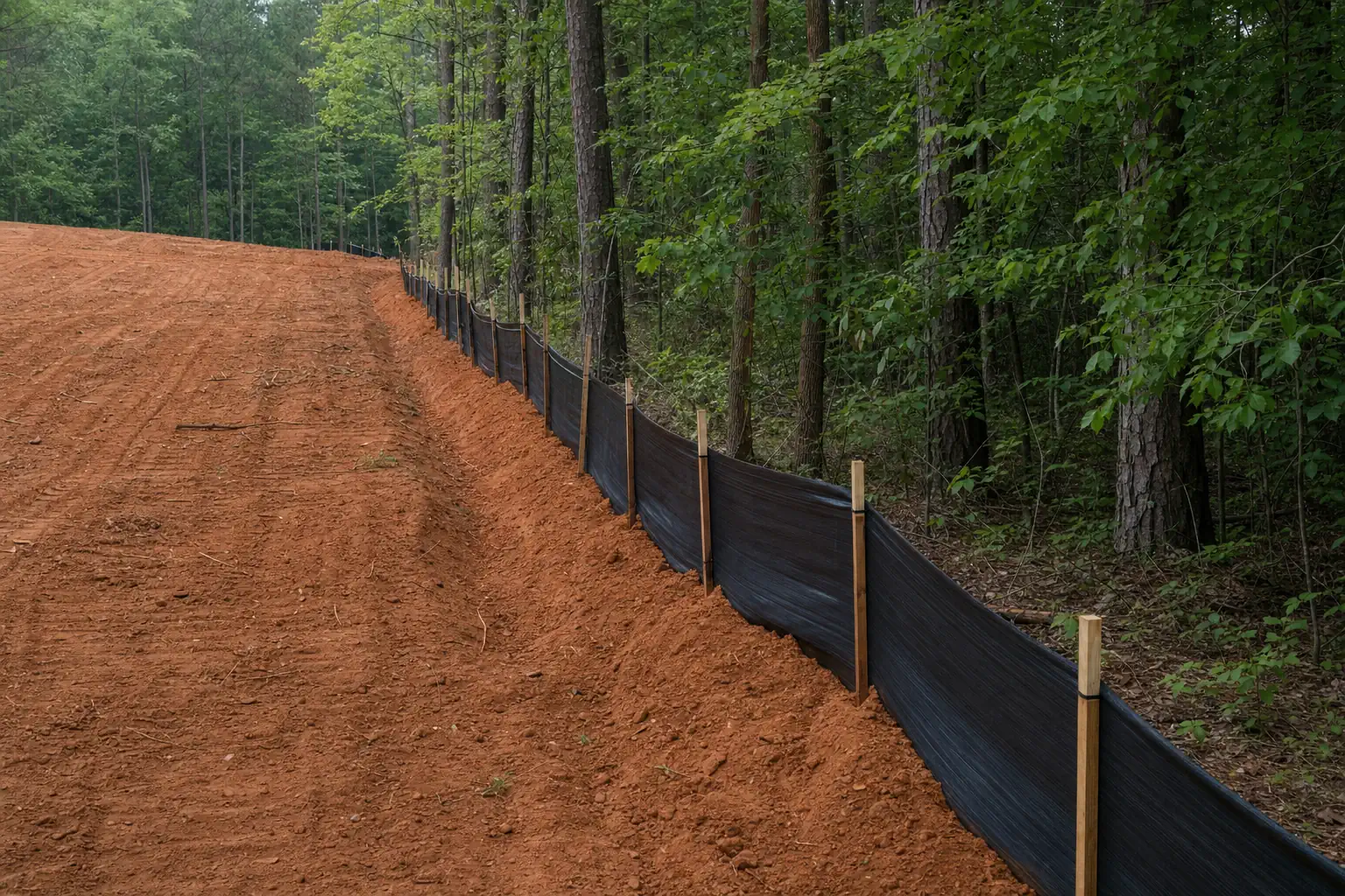
On land that drains to a creek, the silt fence runs on the upland side of the buffer, between the work and the strip you’re keeping. Installing it inside the buffer would mean trenching and driving stakes in ground that’s supposed to stay undisturbed, so the fence line follows the flags.
The mulcher then works from the fence uphill, and the chips it leaves cover the ground above the fence. After a heavy rain we walk the fence, clean out what it caught and reset any section that sagged. The buffer behind it does the last of the filtering. How we install and keep the fence is on the silt fence and erosion control page.
Privet and kudzu along creeks
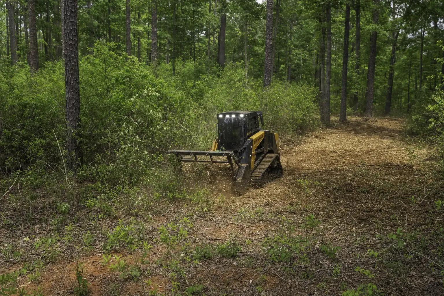
Chinese privet fills many creek bottoms in Forsyth County, and the thickets often run right down to the bank. Clearing privet on the upland side of the buffer is ordinary mulching work. Privet inside the buffer is a buffer question first.
Privet cut without follow-up grows back. Lasting control means mechanical removal followed by herbicide treatment of the regrowth, and near water the product and the method have to suit a stream bank.
Herbicide applications are performed by licensed applicators in accordance with the product label.
A U.S. Forest Service study along North Georgia streams found that privet plots mulched and then treated with herbicide had about 7 percent re-infestation after five years, and native plant cover recovered to about 70 percent, against 20 percent in untreated plots. The details for creek work are on privet removal along creeks.
What a cleared buffer costs
Forsyth County’s erosion ordinance sets its steepest daily minimum for buffer damage: at least $1,000 a day where state or county buffers are impacted, plus revegetating the buffer. Administrative fines run up to $1,000 a day per violation, or up to $2,500 a day through a Magistrate Court citation.
Forestry work carries its own penalty. Harvesting and forest management are exempt from the permit, but if forestry work disturbs a buffer, the ordinance allows no other land-disturbing activity on the entire property, apart from normal forest management, for three years. On land meant for a house or a sale, that bar holds up everything else for three years.
The other cost lands downstream. Clay that reaches the creek ends up on the neighbors’ banks and in the Chattahoochee or the Etowah, and the vegetation left standing in a buffer is what slows runoff and holds sediment that gets past the fence.
How we clear a tract with a creek on it
- 1Find the waterWalk the hollows and banks, including branches that run only part of the year.
- 2Flag the bufferMark the edge from the bank on the ground, or from the approved plan.
- 3Settle the permitMeasure the area and the distance to water before the quote.
- 4Fence, then clearSilt fence on the low side above the buffer, then the mulcher works upslope.
 Erosion Control and Silt Fence InstallationUnderbrush Clearing: Open the Woods, Keep the Canopy
 Chinese Privet Removal
The cleared ground above the buffer grows back too. Privet and sweetgum sprout within a season or two unless the land gets used or mowed, so plan for maintenance mowing. The other erosion and permit rules for clearing here are on the erosion control and permits page.
Keep reading