
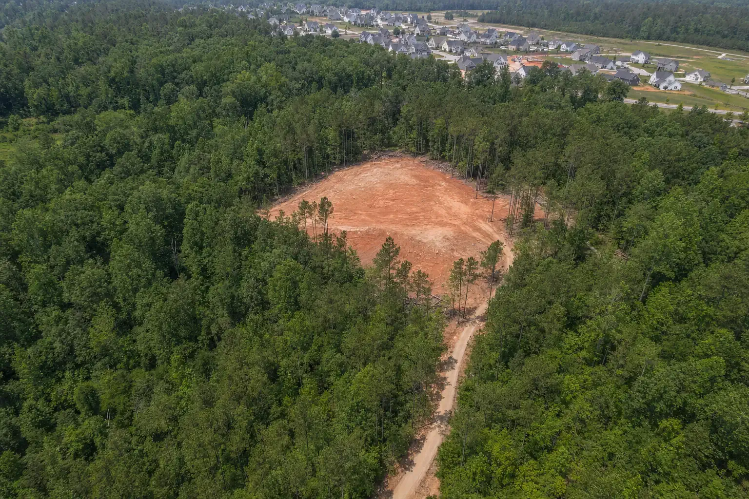
Service areas
Where We Work: Cumming, Forsyth County and the 400 Corridor
Sawnee Land Clearing is based in Cumming and works across Forsyth County and the towns over the county line, most of it within ten miles of Sawnee Mountain. Cumming is the county's only city, so the pages below follow the communities people actually live in, from Big Creek in the south to Hightower on the Etowah.
- Based in Cumming
- 8 Forsyth communities
- 7 neighboring towns
- Both sides of the county
Tell us where the land is. Quote in one business day.
Find your area
Pick the place closest to your land
Each page covers the land, the rules and the work that comes up most in that community.
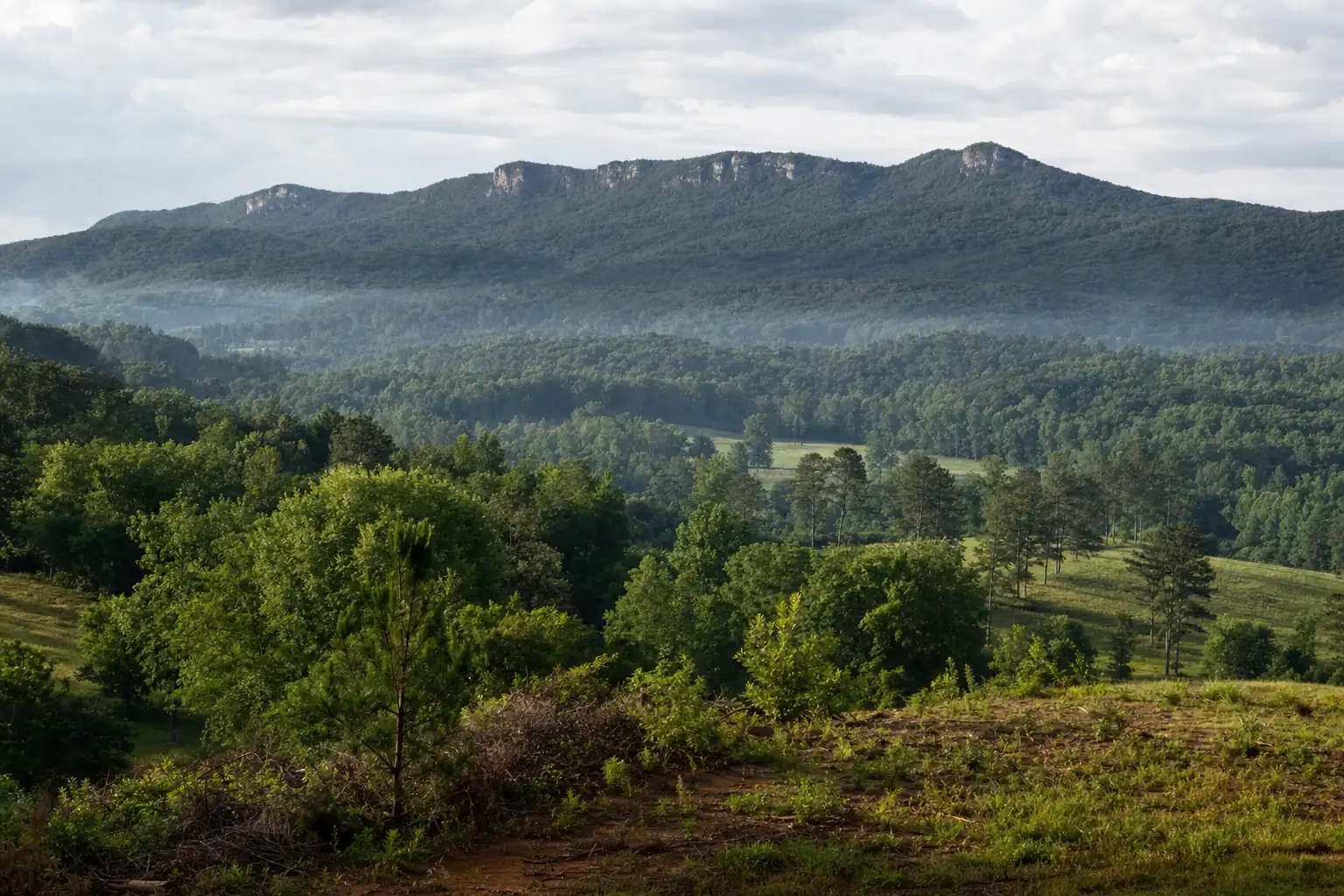
Home base
CummingThe county seat at the foot of Sawnee Mountain, and our home base.Forsyth County communities
Most of the county is unincorporated. These are the communities behind the Cumming addresses.
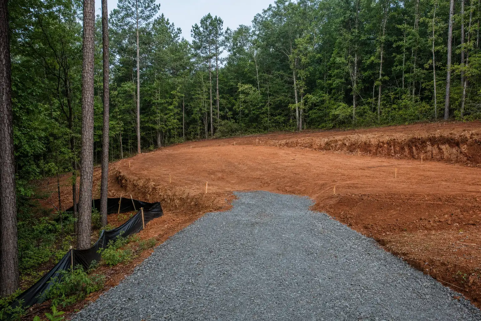 Big CreekThe subdivision belt south to the Fulton line, with wooded lots left between.Forsyth County · Cumming addresses
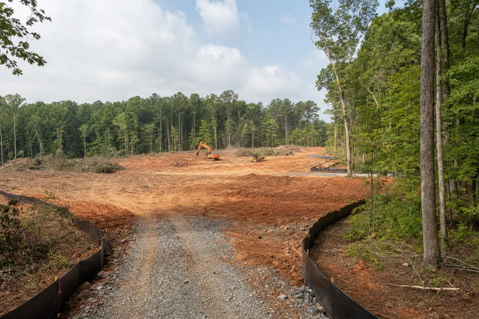 Coal MountainA quiet crossroads at SR 369 and SR 9, now building a town center.Forsyth County · 30028
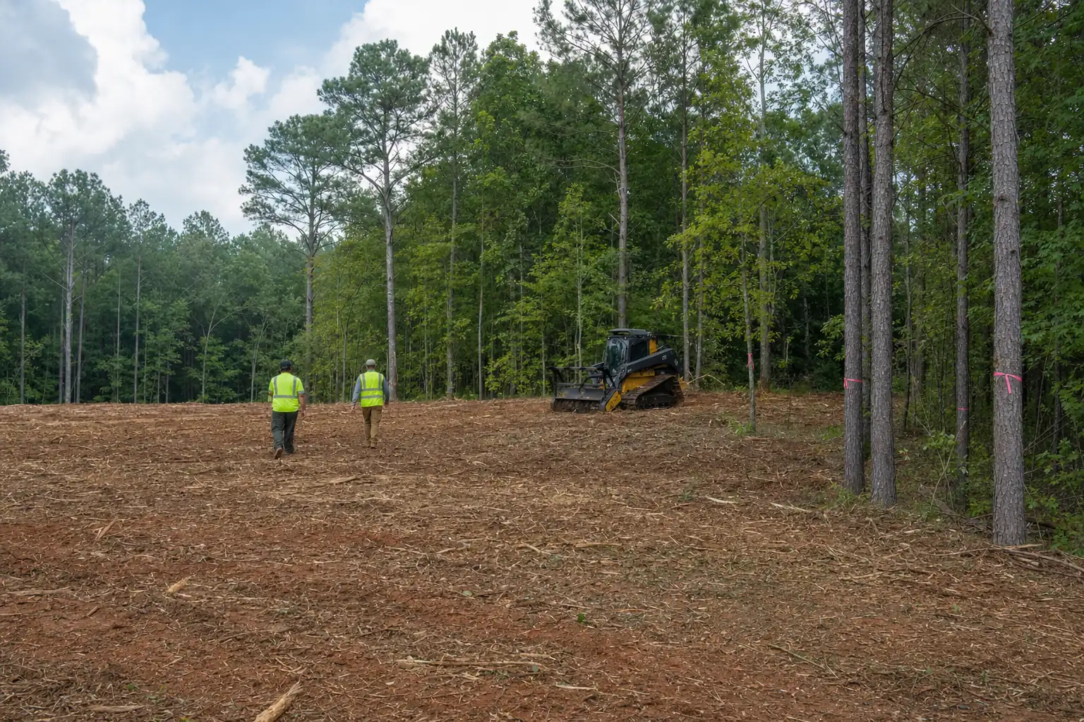 Mars Hill CrossroadsSouthwest of Cumming off Bethelview Road, acreage lots between subdivisions.Forsyth County · 30040
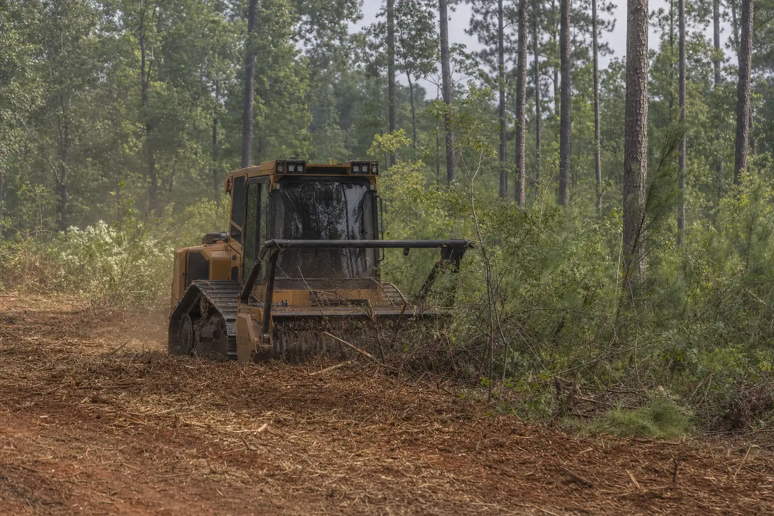 DucktownLarge rural tracts north of SR 20 on the Etowah side of the county.Forsyth County · 30040, 30028
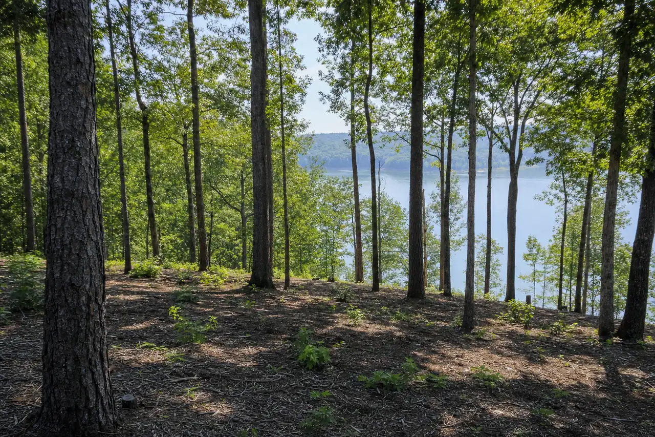 OscarvilleNortheast-shore lake acreage between Browns Bridge Road and the Hall line.Forsyth County · Cumming and Gainesville addresses
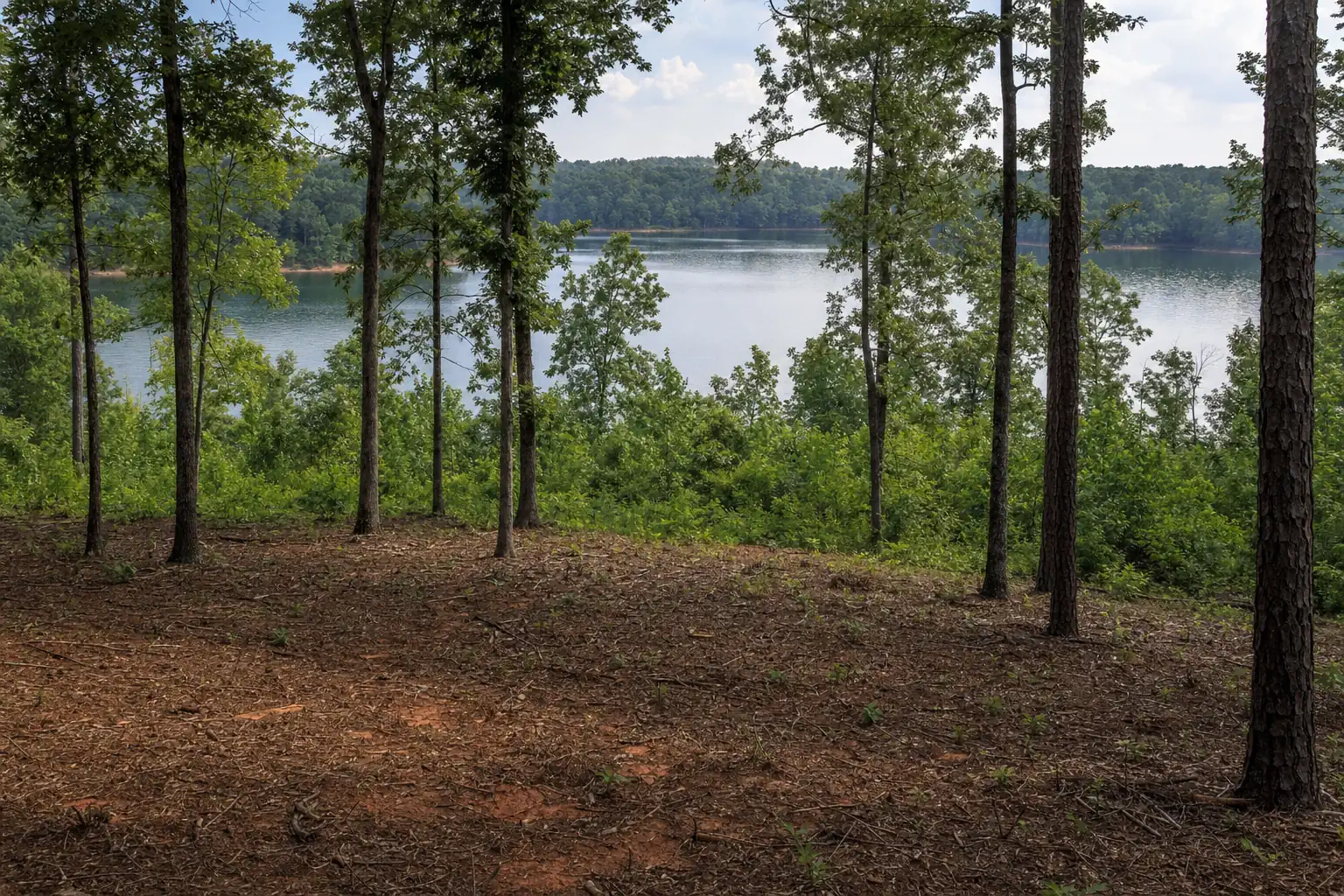 ChestateeLake lots and old farm land around Chestatee Bay and Keith Bridge Road.Forsyth County · 30506, 30041
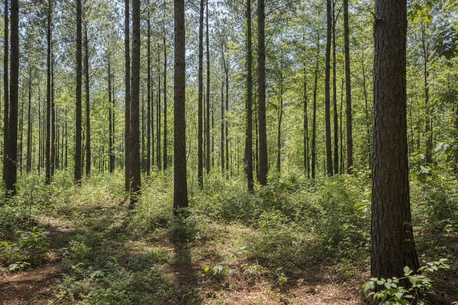 MattNorth-county land along Matt Highway and Settingdown Creek.Forsyth County · Etowah side
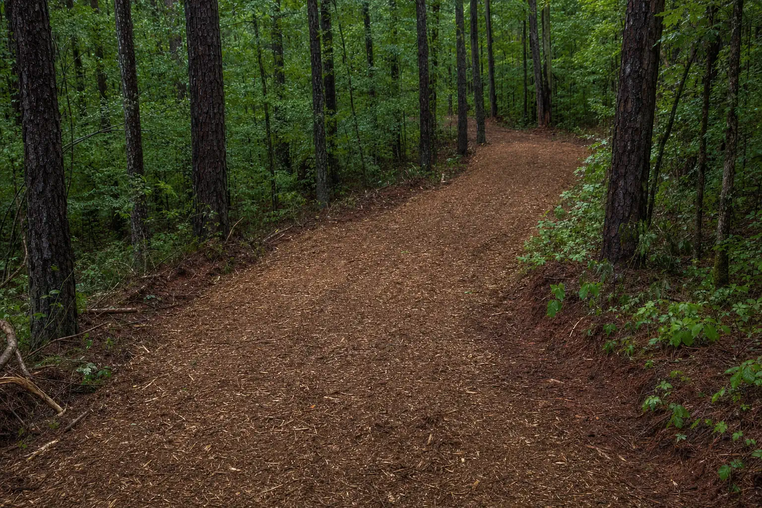 HightowerThe far northwest corner: river bluffs and creeks along the Etowah.Forsyth County · Etowah River
Neighboring towns
Over the county line in Gwinnett, Fulton and Hall, a short drive from Cumming.
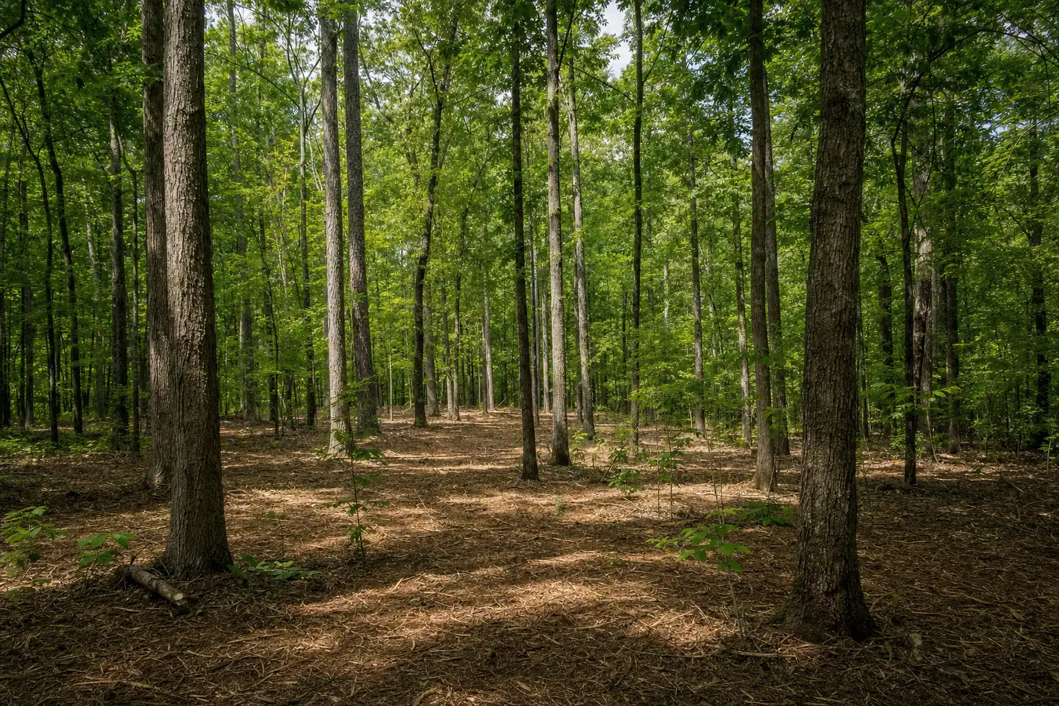 BufordThe south end of Lake Lanier by Buford Dam, with big-lot remnants near the lake.Gwinnett County · 30515, 30518, 30519
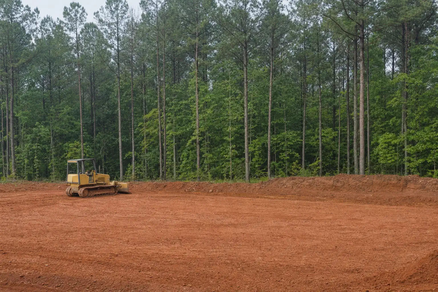 Sugar HillA fast-growing Gwinnett city near Lanier and Buford Dam Park.Gwinnett County · 30518
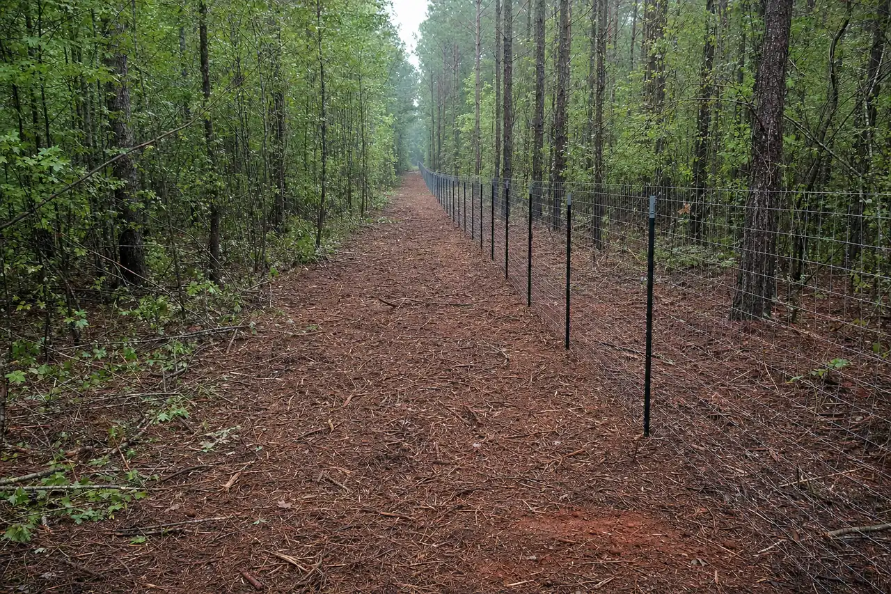 MiltonHorse farms and pasture in north Fulton: fence lines, briars and screening.Fulton County · 30004, 30009
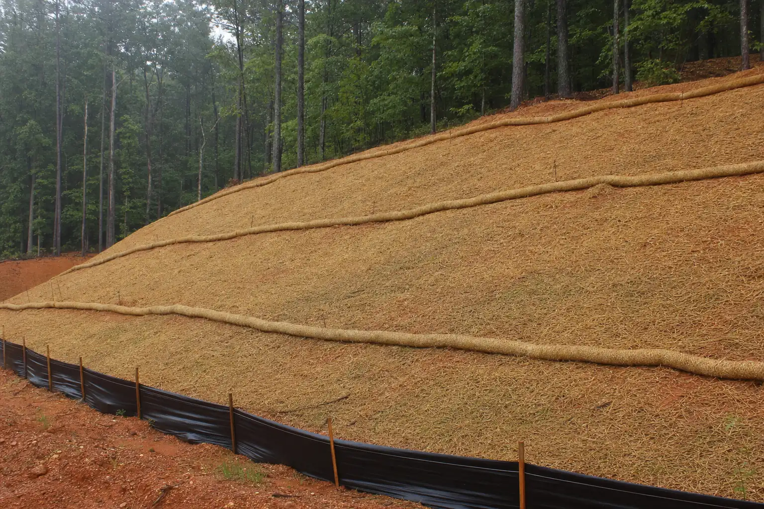 SuwaneeThe Chattahoochee on its west side, with river-corridor rules on lots nearby.Gwinnett County · 30024
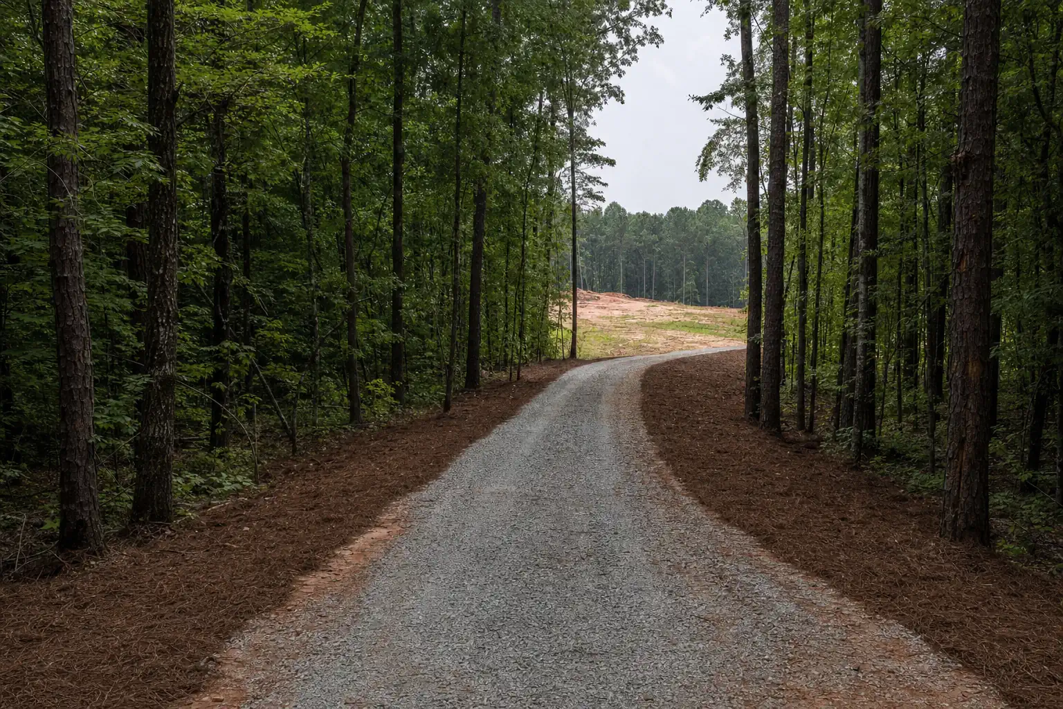 AlpharettaInfill lots and the last wooded parcels along SR 9 and Big Creek.Fulton County · 30004, 30005, 30009, 30022
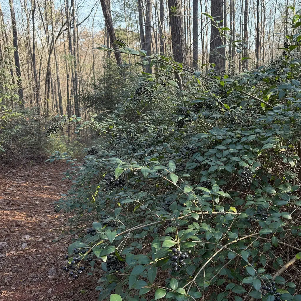 Johns CreekChattahoochee frontage, steep lots and privet-choked back lines.Fulton County · 30005, 30022, 30024, 30097, 30098
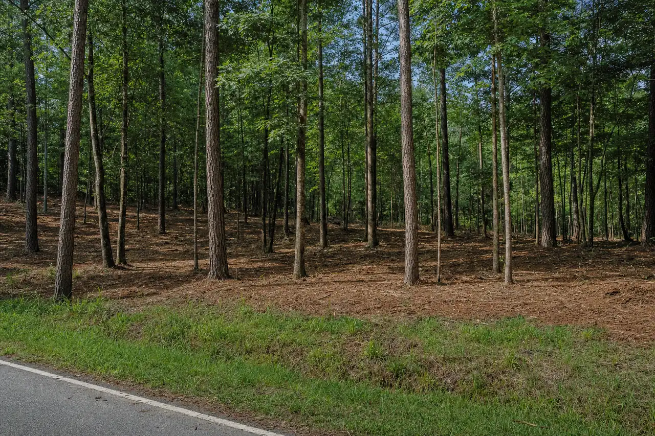 Flowery BranchLanier's east shore in Hall County, with growth along Spout Springs Road.Hall County · 30542
 Somewhere else nearby?Tell us the road and the acreage. We'll say on the first call whether we can take it.Call (470) 577-7981
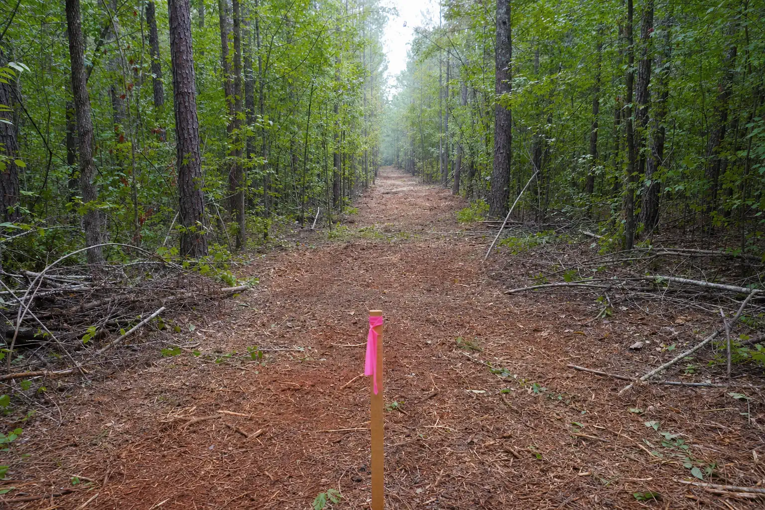
About 100,000 people in the county have a Cumming address.
One city, many communities
Your address says Cumming. Your community is Coal Mountain.
Cumming is Forsyth County's only incorporated city. About 12,500 people live inside its limits, and roughly 100,000 more live on unincorporated land with a Cumming mailing address.
That matters for clearing in one practical way: inside the city limits, the City of Cumming issues the land disturbance permit. Everywhere else, Forsyth County does. We sort out which side of the line your land is on during the walk.
- City of Cumming permits inside the limits
- Forsyth County permits everywhere else
- Neighboring counties issue their own
Water and land
Two watersheds and a lake shape the work here
The eastern two-thirds of the county drains to the Chattahoochee and Lake Lanier. The northwest third drains to the Etowah. Where your land drains decides which creeks and buffers your erosion plan answers to.
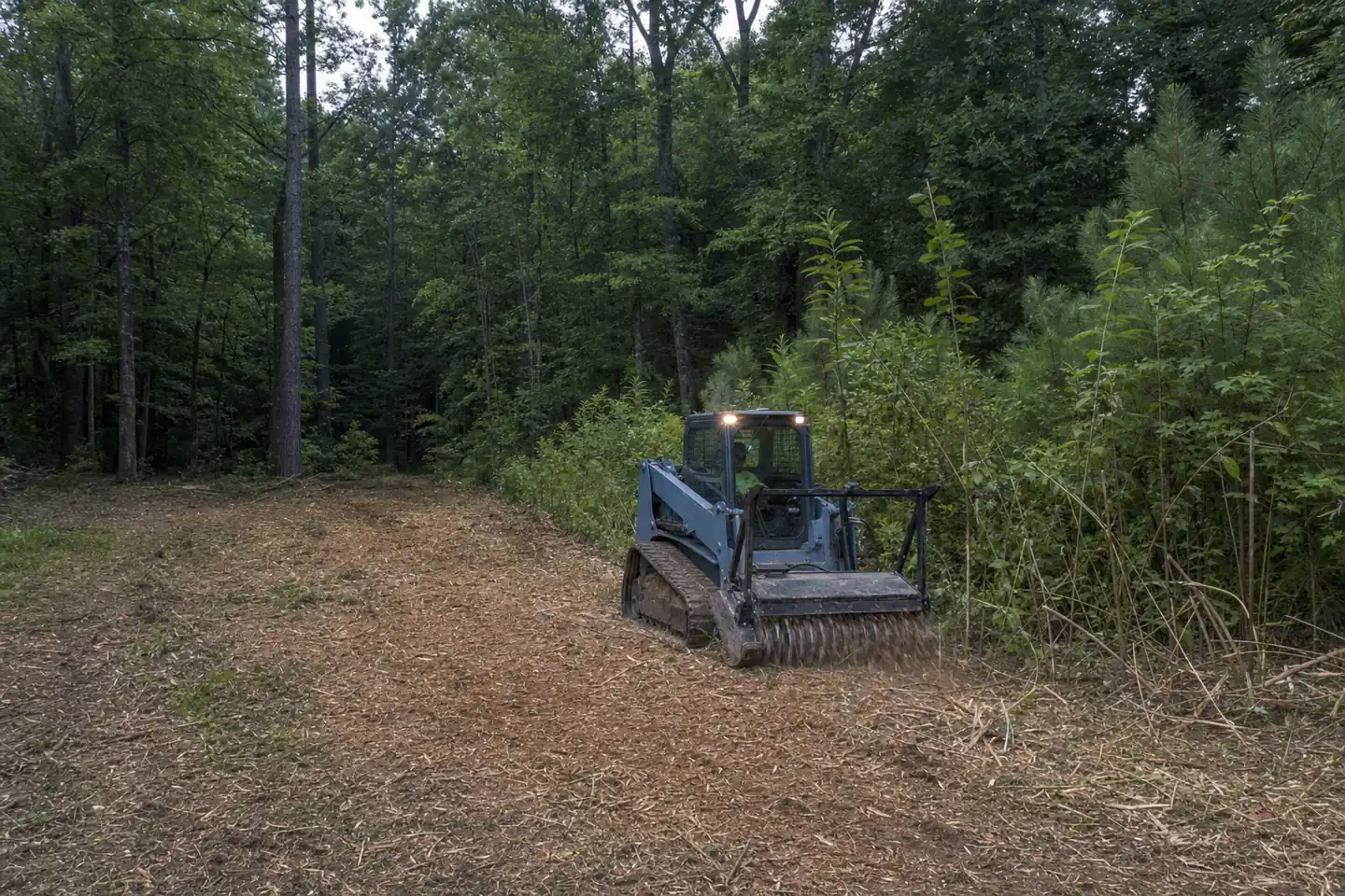
Clearing near Lake Lanier- 2 basins
- Chattahoochee to the east, Etowah to the northwest
- 38,000 acres
- Lake Lanier at normal pool
- 692 miles
- Of Lanier shoreline at normal pool
- About 30%
- Of the lake inside Forsyth County
Shoreline rules are set by the U.S. Army Corps of Engineers under the 2004 Shoreline Management Plan and were checked on November 4, 2026. A revision is in progress. Confirm with the Lake Lanier Shoreline Management Help Desk before any work near the government line.
The land
What clearing runs into around here
The same four things come up on almost every walk in this part of Georgia.
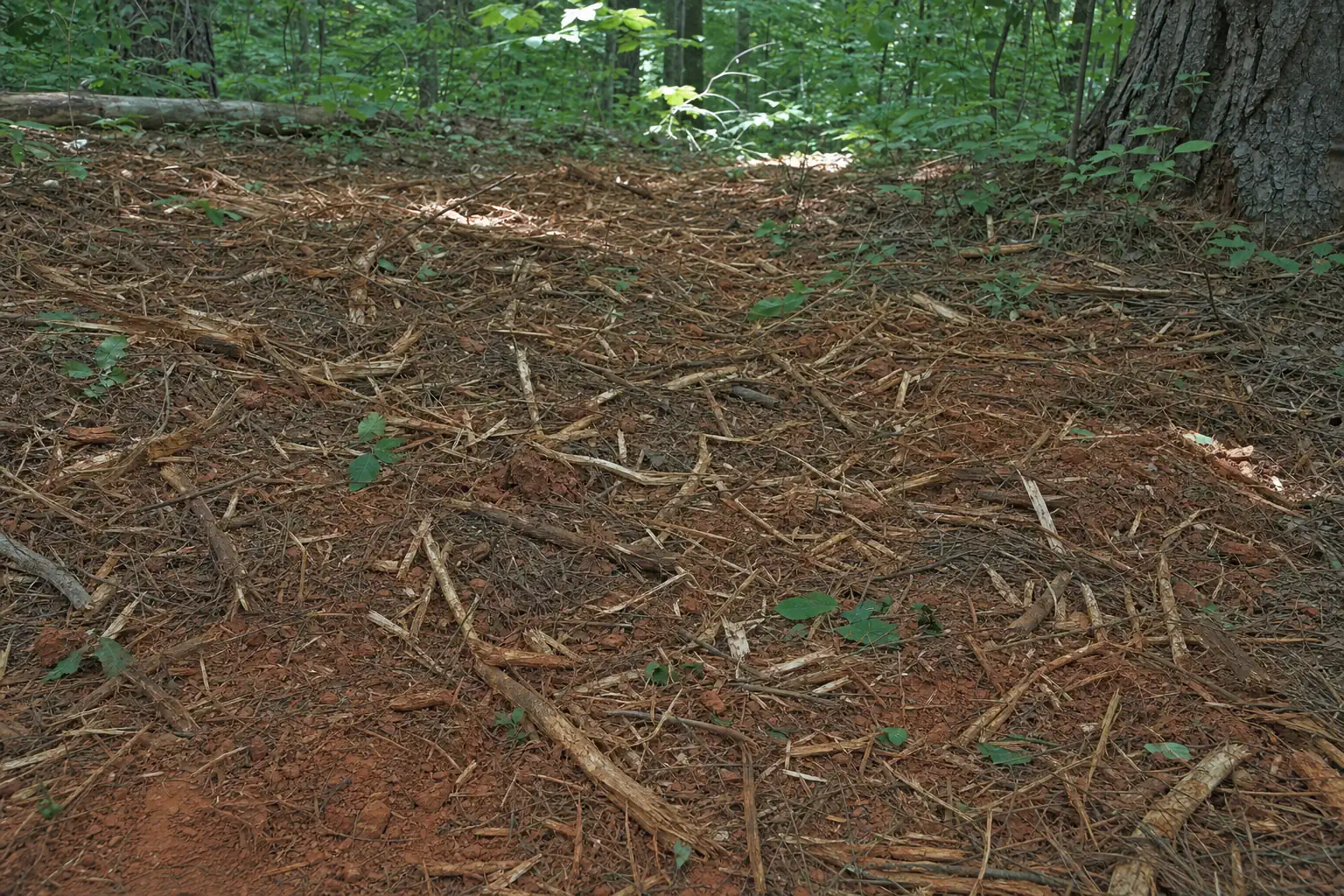 01
Red clay and slope
Piedmont red clay over weathered rock, rarely flat for long. Wet clay stops tracked machines.
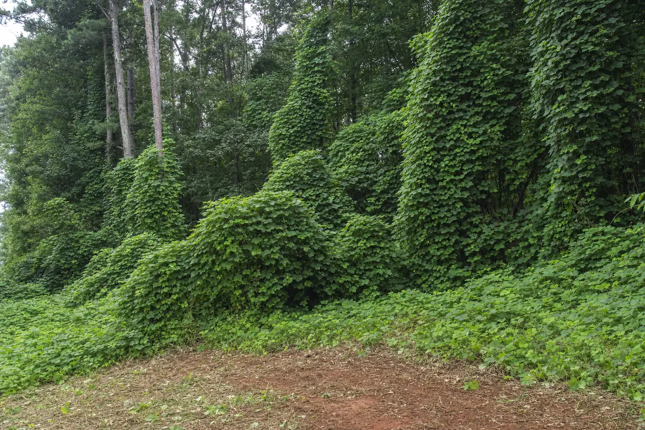 02
Privet and kudzu
Chinese privet fills the understory and kudzu buries woods edges. Both come back without follow-up.
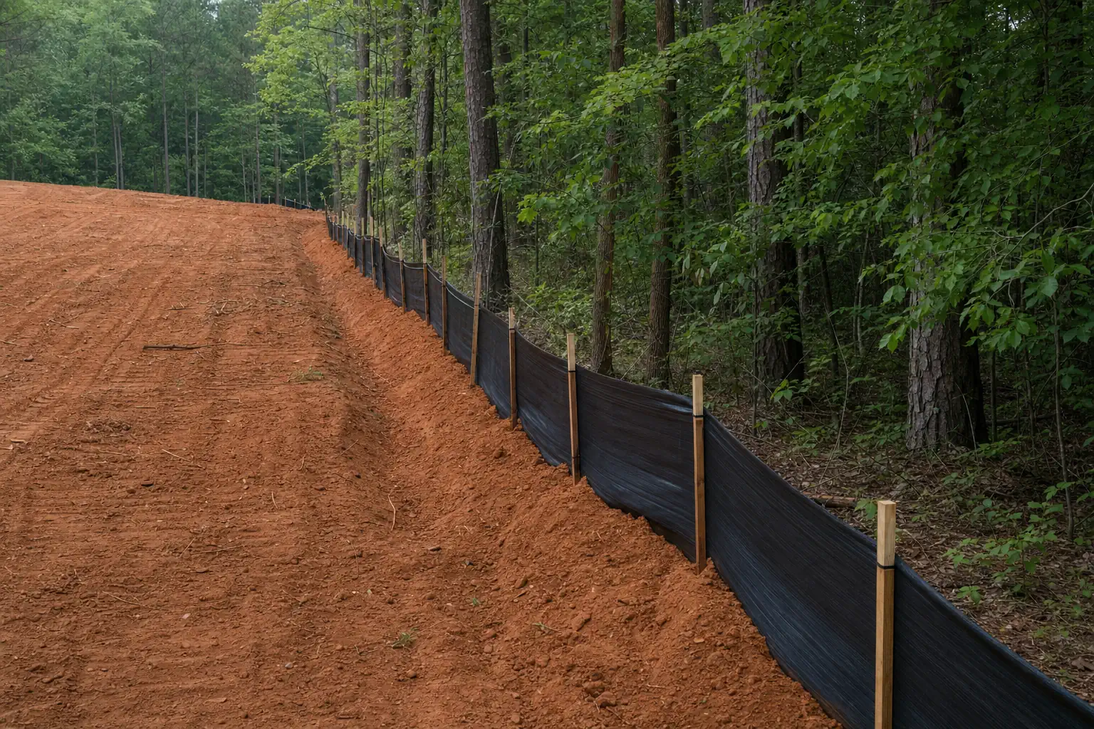 03
Creeks and buffers
Forsyth keeps a 50-foot undisturbed strip along streams, plus a 25-foot setback.
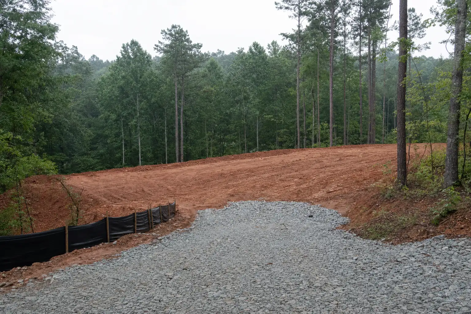 04
Growth
GA 400 turned the county into a commuter area. Wooded tracts between subdivisions keep turning into lots.
Outside the map
Not on the list? Call anyway.
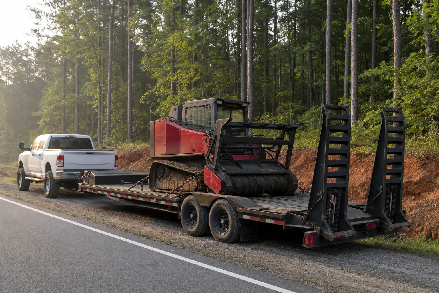
Most of our work is within ten miles of Sawnee Mountain, but the county line isn't a wall. Dawson, Hall, Cherokee and north Fulton are all a short haul for a lowboy.
Tell us the road, the acreage and what's growing on it. We'll tell you on the first call whether the trip makes sense for your job.
Straight answers