
Straight answer · 3 min read
Can I Clear My Lot Down to the Water on Lake Lanier?
No. On Lake Lanier, the shoreline between your property line and the water is federal land managed by the U.S. Army Corps of Engineers, and the Corps does not permit clearing it for views or lawns. Sawnee Land Clearing opens up lake lots on the Forsyth County side up to the government line, and our machines stop there.
Lake Lanier has about 692 miles of shoreline at normal pool, and roughly 30 percent of the lake sits inside Forsyth County. A question that comes up on most lake lots: can the trees between the house and the water come out? The answer depends on where your deed ends.
Where your lot ends
The U.S. Army Corps of Engineers manages the land around Lanier. On a lake lot, your deed usually stops at the government line, wherever your survey puts it. The strip from that line down to the water is federal property, even when it sits between your house and your dock.
That strip is what most people mean by “down to the water,” and it’s the part you can’t clear. Summer full pool is 1,071 feet, and the water’s edge moves with the lake level through the year. The government line on your survey stays put, so a low-water summer doesn’t hand you any more land to work.
What the Corps rules say
- No cutting without written permission. Federal regulation (36 CFR 327.14) prohibits cutting trees or removing wood on Corps project lands without written permission of the District Commander.
- No clearing for a view or a lawn. The Corps’ “Trees at Lake Sidney Lanier” fact sheet says clearing to obtain scenic vistas or to establish lawns is not permitted.
- No new vegetation permits. Vegetation modification appears on the Corps fee schedule under grandfathered permits only; new authorizations are not permitted.
- Hazard trees are a Corps decision. Homeowners may be granted a free, 90-day Specified Act Permit for one-time minor acts such as cutting a hazardous tree. It does not allow equipment on government property, the wood usually stays, and low-risk trees are not removed.
- Paths and mowing are limited. Dock permit holders may maintain a 6-foot meandering path. Mowing is allowed only in an authorized grass area under a Shoreline Use Permit.
Shoreline rules are set by the U.S. Army Corps of Engineers under the 2004 Shoreline Management Plan and were checked on November 4, 2026. A revision is in progress. Confirm with the Lake Lanier Shoreline Management Help Desk before any work near the government line.
The 2004 Shoreline Management Plan still governs the lake, and a revision is in progress, so we recheck these rules each season. Questions about a specific tree, path or dock go to the Corps’ Shoreline Management Help Desk. The longer guide is clearing near Lake Lanier: the Corps rules.
What you can do, and where
| Work | On your lot | On Corps land |
|---|---|---|
| Mulch underbrush and privet | Yes | No |
| Thin small trees for a filtered view | Yes, keepers flagged with you | No |
| Cut a tree down | Yes, under county rules | Not without the Corps’ written permission |
| Mow a lawn | Yes | Only in an authorized area under a Shoreline Use Permit |
| Run a machine | Yes, on firm ground | No |
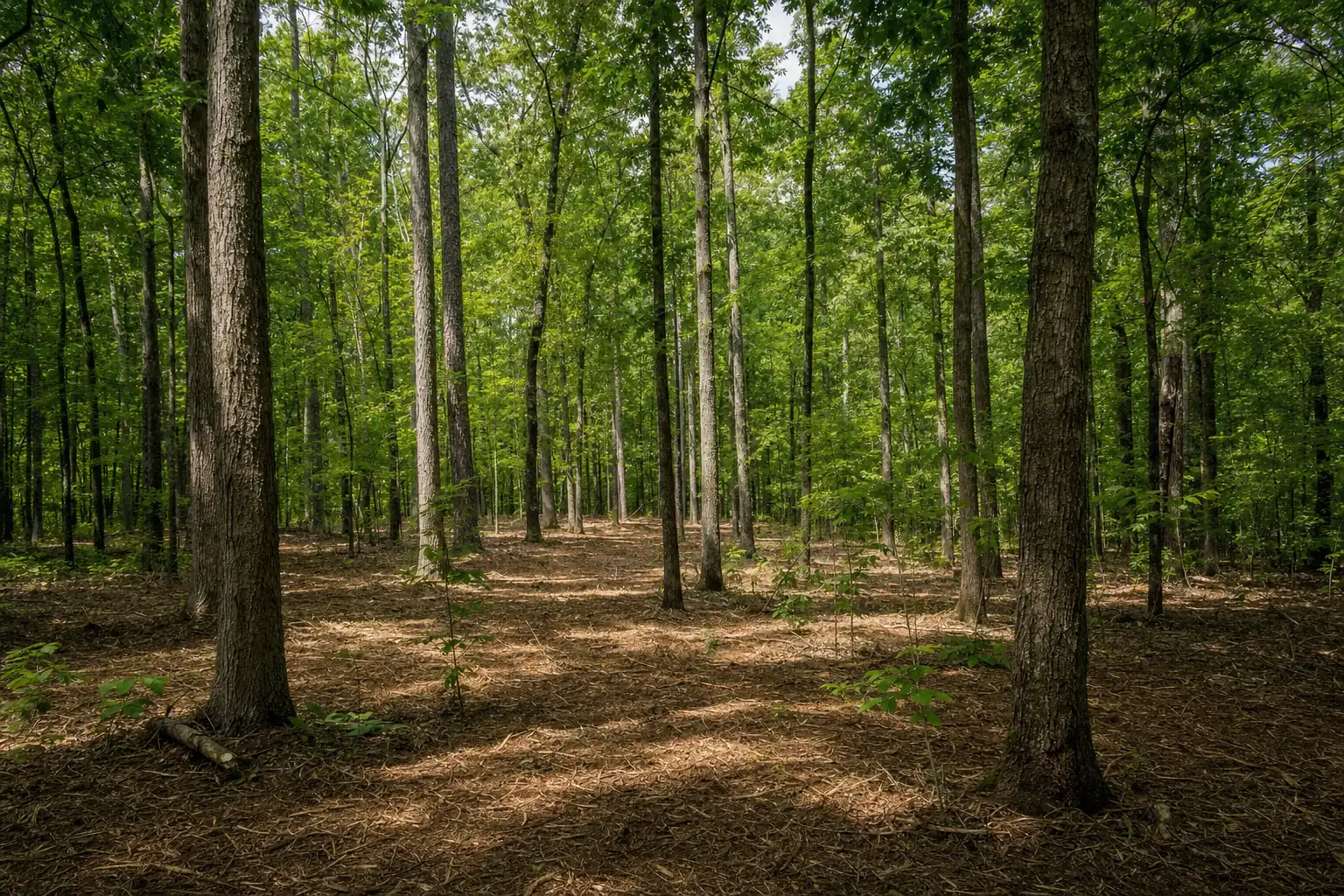
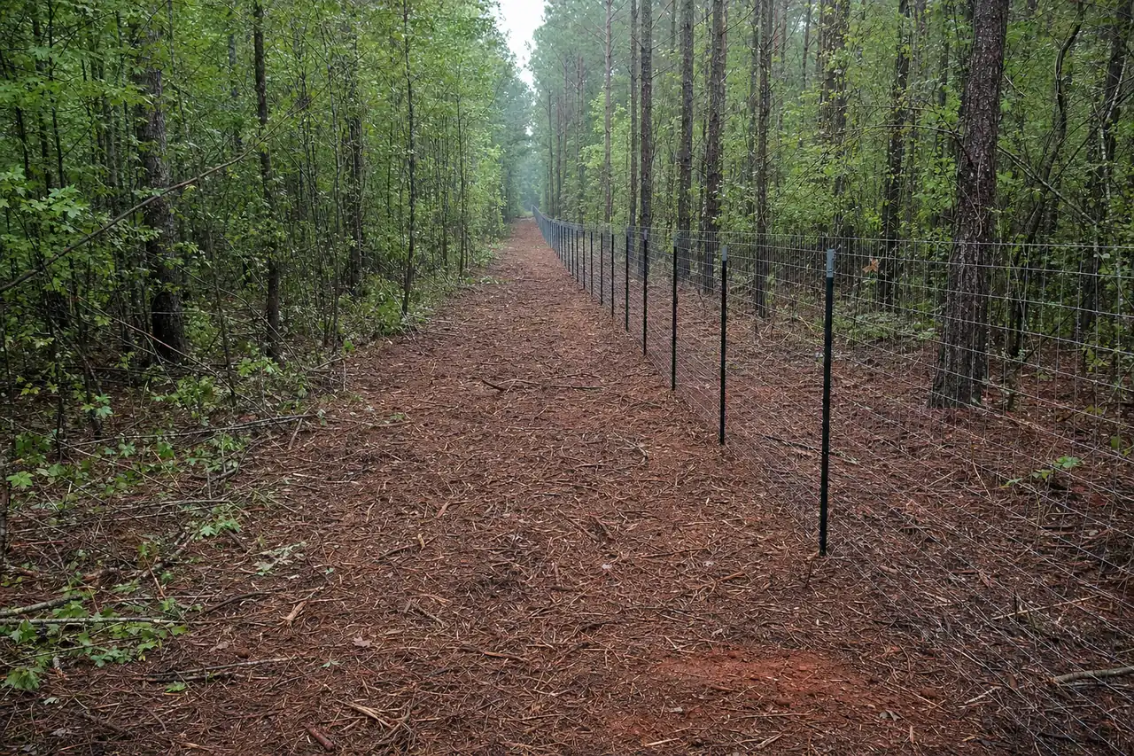
Your side of the line still leaves plenty to work with. Taking out the privet, briars and saplings under the canopy opens sight lines toward the water while the big trees stay up. See keeping the big trees and clearing the rest.
How we clear a lake lot
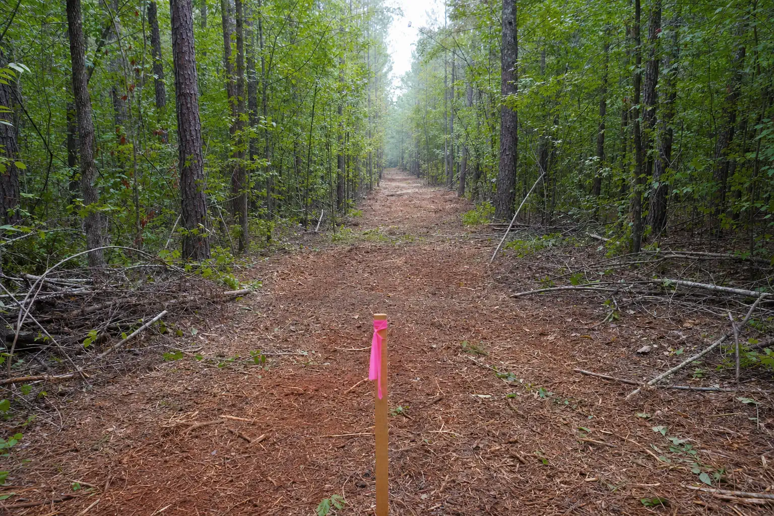
- 1Find the linePlat, corner pins and the government line located and flagged on the walk.
- 2Flag what staysKeeper trees marked, and the slope and drainage toward the lake noted.
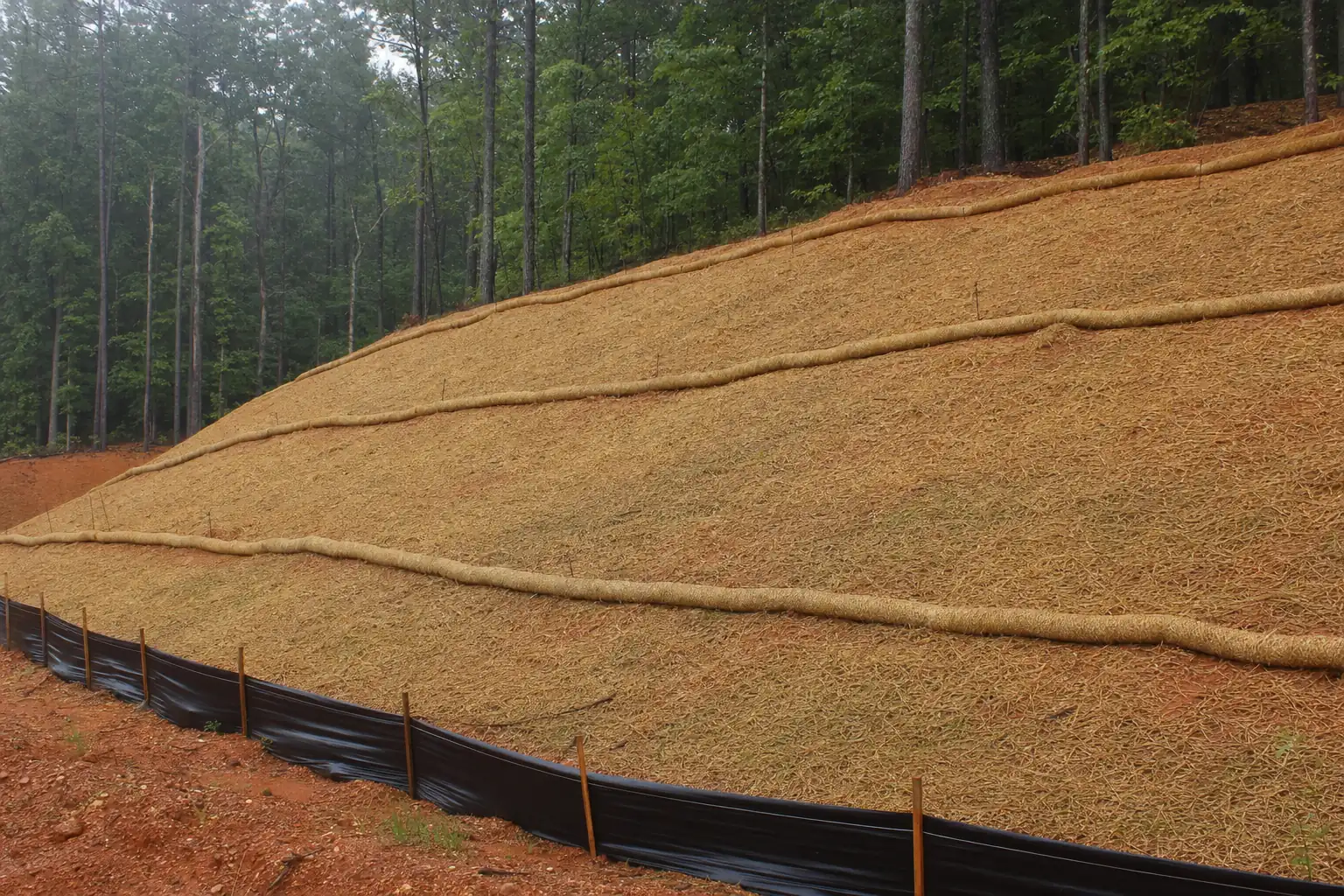
- 3Cover the low sideSilt fence wherever the slope runs toward the water.
- 4Underbrush and thinThe mulcher works your side of the line and leaves the ground covered.
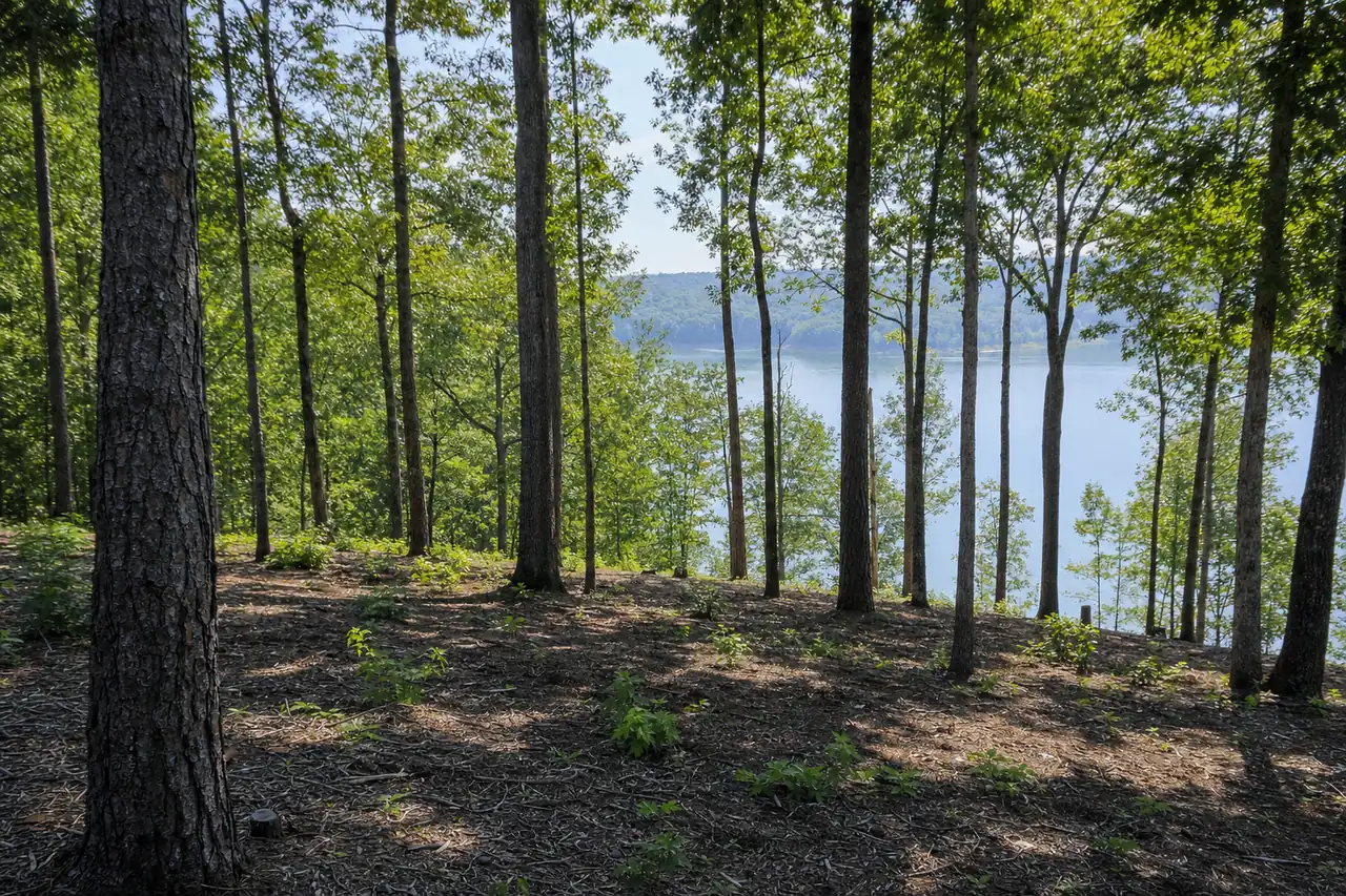
Many lake lots slope straight to the water on red clay, so the mulch stays on the slope to hold it. On a lot under an acre, the small-job minimum of $1,200 to $2,000 often sets the price.
Ranges are estimates for Forsyth County and the surrounding area based on job density, terrain, access and acreage. Your written quote is the only price that applies to your property.
The privet and sweetgum come back from the roots within a season or two, so plan for maintenance mowing on your side of the line. The full service is on our lake lot clearing page, under land clearing.
If someone offers to clear to the water
The lot owner answers to the Corps for clearing past the line, whoever ran the saw. If a contractor offers to clear the shoreline for a view, the Corps still deals with you as the owner. Before you agree to any work near the line, read what happens if you clear Corps land and whether a vegetation permit is possible.
FAQ
More about Lake Lanier lots
- Can I get a Corps permit to clear for a view?
- No. The Corps' tree fact sheet says clearing to obtain scenic vistas or to establish lawns is not permitted. Vegetation modification appears on the Corps fee schedule under grandfathered permits only, and new authorizations are not permitted.
- What about a dead or leaning tree on Corps land?
- That's the Corps' call. Its fact sheet says homeowners may be granted a free, 90-day permit for one-time minor acts such as cutting a hazardous tree. That permit does not allow equipment on government property, and the wood usually stays.
- Can you underbrush my lot right up to the line?
- Yes, once the line is found and flagged. Privet, briars and saplings on your side get mulched, the keepers stay, and the work stops at the government line.
- How do I know where the government line is?
- Your plat and survey show where your deed ends. If the corner pins are missing or the line isn't clear on the ground, a surveyor sets it before any machine works near it.
Keep reading
Questions people ask next
- QCan I get a vegetation permit for my Lake Lanier lot?
- QWhat happens if you clear Corps land on Lake Lanier?
- QClearing near Lake Lanier: the Corps rules before you cut
- QCan you keep the big trees and clear the rest?
- QDo I need a permit to remove trees on my own property in Forsyth County?
- QIs there a minimum charge for clearing a small lot?