Permits & Erosion · 5 min read
The 50-Foot Buffer: Clearing Near Creeks in Forsyth County
In unincorporated Forsyth County, streams carry a 50-foot undisturbed buffer plus a 25-foot setback where nothing impervious goes. Georgia adds a 25-foot buffer on all state waters. Clearing stops at the flags, and any clearing within 200 feet of state waters needs a county land disturbance permit, even on a job under an acre.
Clear up to the buffer. Quote in one business day.
The branch at the bottom of the hollow
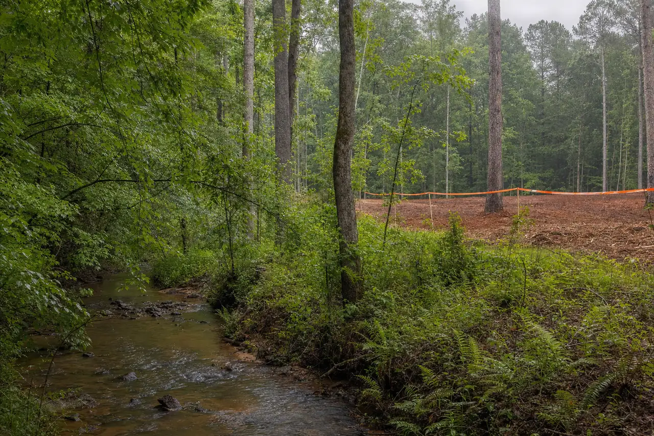
A lot of the tracts we walk look dry from the road. Then the walk goes downhill, the privet gets thicker, and at the bottom of the hollow there’s a branch running over rock, two feet wide, that never made it onto the listing photos. It changes the job before a machine has left the trailer.
That happens often in Forsyth County because the county is full of water. The east two-thirds drains to the Chattahoochee and Lake Lanier, much of it through Big Creek and the lake’s arms. The northwest third drains to the Etowah through Settingdown Creek and its branches. Most of the hollows between the ridges carry something, and wherever water runs, a buffer runs beside it.
Three lines along one creek
Two sets of rules lay buffers over the same stream here: the state’s and the county’s. On a typical creek in unincorporated Forsyth, the county’s is the wider one, and it decides how close a machine gets.
The lines along a Forsyth County creek
- 25 ft
- Georgia's buffer along all state waters
- 50 ft
- County buffer left undisturbed
- 25 ft
- County setback beyond it, with nothing impervious
- 200 ft
- From state waters, where any clearing needs a permit
Permit thresholds, fees and buffer widths are those published by Forsyth County and the State of Georgia as of November 4, 2026. Confirm current requirements with the issuing authority before work begins. This is not legal advice.
Put together, that’s 75 feet from the stream before a driveway, slab or roof can go in, with the first 50 left as they are. Inside Cumming’s city limits the city sets its own buffers and issues its own land disturbance permit, so a city lot follows city rules. Parts of the county also sit inside water-supply watershed overlays that can widen the buffer. We check which rules cover your parcel before we quote, and we don’t guess at those widths.
Where the measurement starts
Owners often measure from the middle of the creek, or from a property line on the survey. The state measures its buffer from the point where normal stream flow has wrested the vegetation away. On most creeks here that’s the edge of the bank where the water has torn out the plants and left bare clay or roots.
That edge moves. A Piedmont creek cutting into its red-clay bank can put the line farther back than an older survey shows, and on small branches the edge is hard to call through summer brush. So we walk the bank and flag the buffer from what’s on the ground. On a permitted job, the approved plan shows the line, and the flags follow the plan.
What the buffer does to a homesite
The buffer is easy to respect on hunting land or a back pasture. It matters most on a house lot, because the 25-foot setback beyond the undisturbed strip keeps pavement and roofs back from the creek. On a narrow lot with a branch along the back, that setback can decide where the house sits, how the drive comes in and how much yard you get.
Settle that before anyone clears. If the site plan comes after the clearing, you can end up having paid to open ground the house can’t use, or found that the spot you cleared for the pad sits inside the setback. On a creek lot, we want the site plan or at least the buffer line in hand before we quote the clearing. See clearing land to build a house.
What we hear on creek walks
- “It’s just brush down there.” The county’s 50-foot buffer is undisturbed ground. We keep machines out of it entirely: no mulching, no grubbing, no stump grinding and no tracks across it, whatever is growing there.
- “That creek is dry half the year.” Branches that run only part of the year can still be state waters. We locate them on the walk and let the county or the approved plan settle the question. We won’t quote around one on an assumption.
- “We’ll only thin it a little.” Georgia’s 25-foot buffer allows thinning or trimming while a protective cover remains. In unincorporated Forsyth that strip sits inside the county’s wider undisturbed buffer, so the county’s answer comes first.
- “The permit is only for an acre or more.” Clearing within 200 feet of state waters needs the county land disturbance permit at any size. The county clearing and grubbing fee is $250, and the permit brings an erosion plan and silt fence.
The short version of the rules is on how close to a creek can I clear, and the full guide is creeks, stream buffers and clearing near water.
Privet down to the water
Chinese privet fills many creek bottoms in Forsyth County, and the thickets often run straight down to the bank. On the upland side of the buffer it’s ordinary mulching work. Inside the buffer it’s a buffer question first, and the county answers it for your site before anyone starts.
Privet cut without follow-up grows back, so lasting control means removal and then herbicide treatment of the regrowth. Near water the product and the method have to suit a stream bank.
Herbicide applications are performed by licensed applicators in accordance with the product label.
The details for creek work are on privet removal along creeks.
Erosion Control and Silt Fence Installation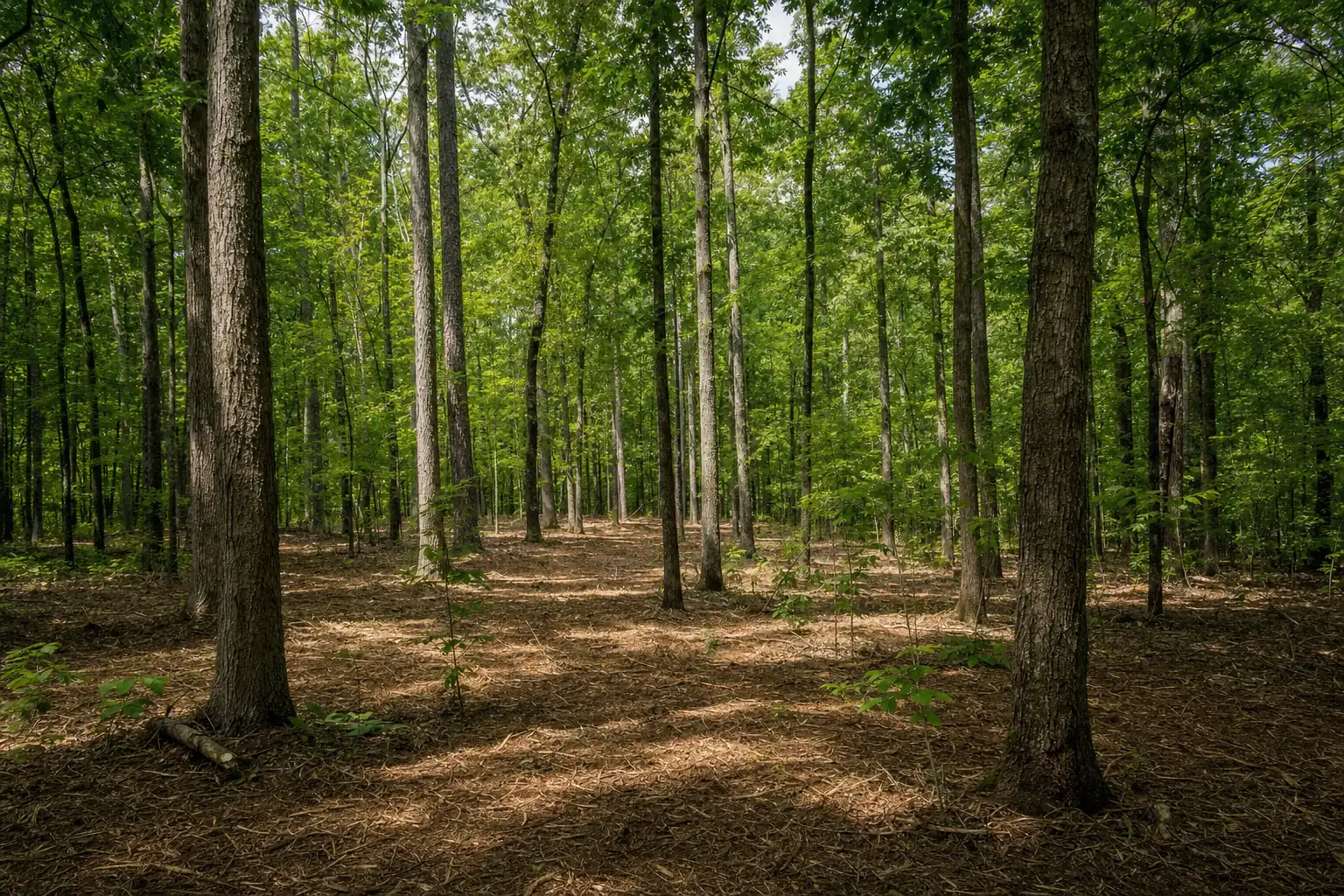 Underbrush Clearing: Open the Woods, Keep the Canopy
 Chinese Privet Removal
How we clear up to the line
- 1Find the waterWalk the hollows and banks, and note the 200-foot line.
- 2Flag the bufferMark the edge on the ground, or from the approved plan.
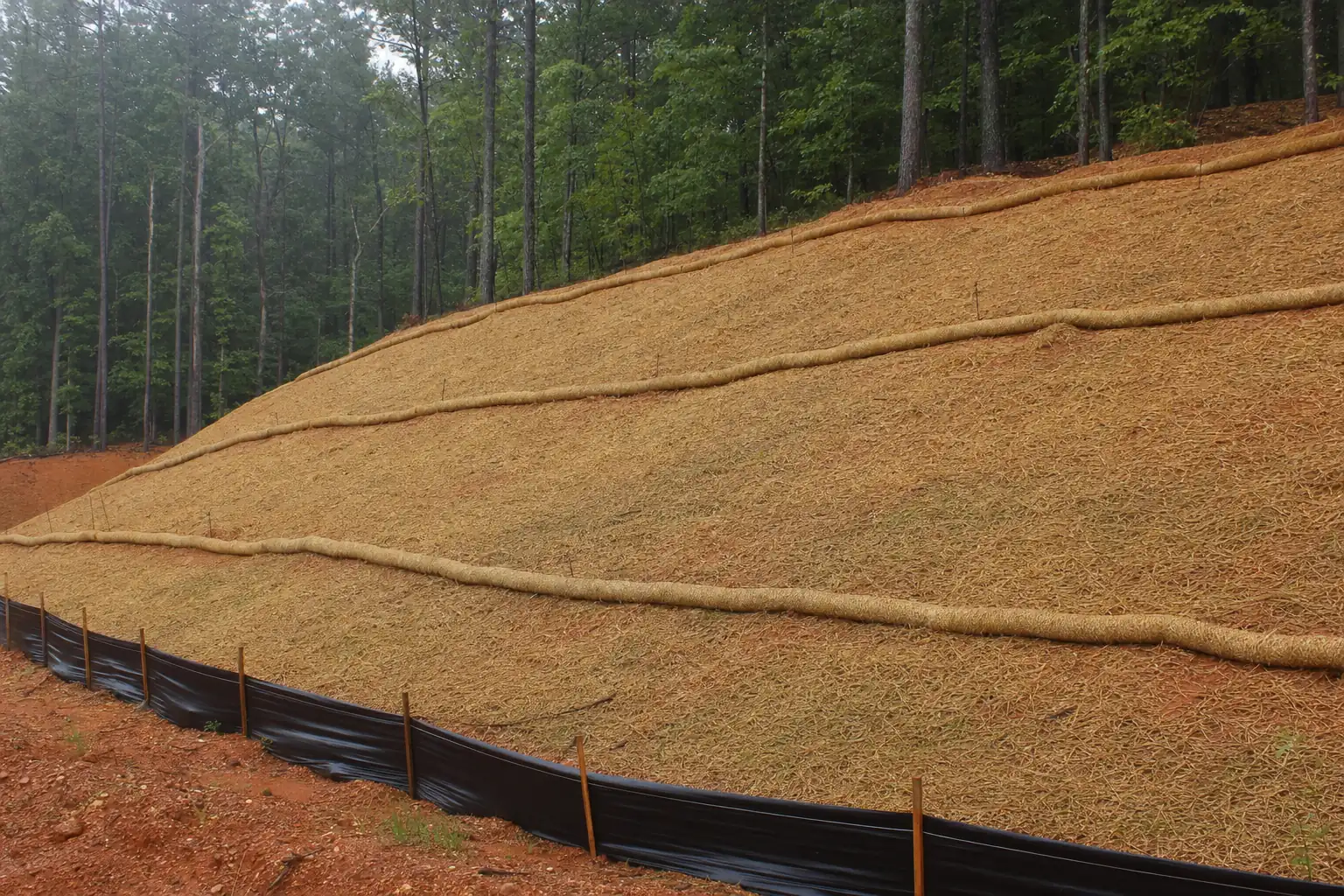
- 3Fence above itSilt fence on the upland side of the buffer, where the slope runs toward the creek.
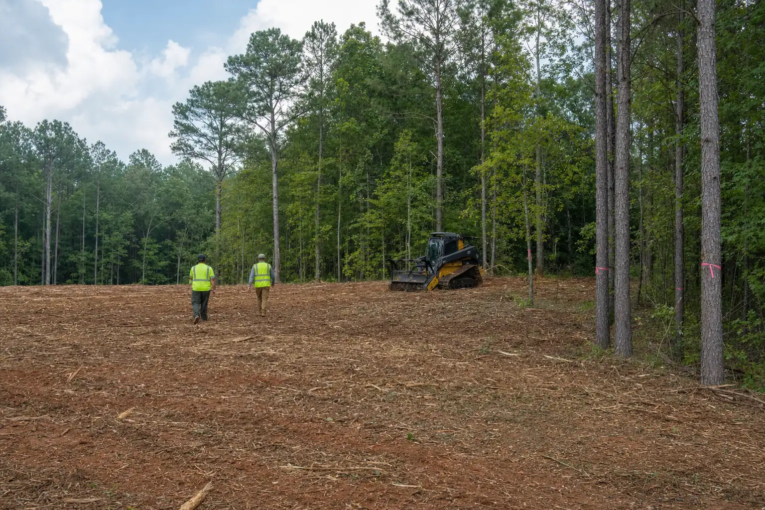
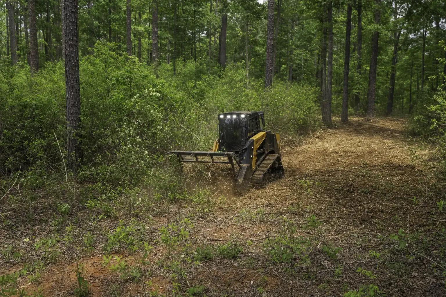
- 4Clear to the flagsThe mulcher works uphill from the fence and leaves the ground covered.
The fence never goes inside the buffer, since trenching and staking there would disturb the ground it’s meant to protect. Mulching suits creek land because it leaves chips right up to the flags, so the strip outside the buffer isn’t bare clay pointed at the water. On a permitted job the controls get inspected on the permit’s schedule: at least weekly on most sites, and within 24 hours of a half-inch rain. We walk the fence after heavy rain and clean out what it caught.
The buffer protects your land as much as the creek. Roots hold a red-clay bank together. Strip them and the next high water cuts into the bank, taking ground from your side of the line a little at a time.
Before you call anyone
Walk to the lowest point of your land and look for water. If you find it, the buffer and the 200-foot permit line are part of the job, and the plan should start there. The cleared ground above the buffer grows back too, so plan for maintenance mowing that keeps the open side open without touching the strip by the creek. The county’s other rules for clearing are on the erosion control and permits page.